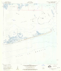
1953 Map of Eastern Isles Dernieres
USGS Topo · Published 1959About this map
The Isles Dernieres barrier chain stretches across this coastal survey, separating the open Gulf of Mexico from the intricate marshlands of southern Louisiana. This mid-century view captures the transition of the landscape toward industrial use, most notably with the establishment of the Lake Pelto Oil Field. Within the protected waters of Lake Pelto, symbols for a Radio Mast and Dolphins indicate active maritime operations and navigational aids of the era. The island geography is defined by narrow tidal openings such as Old Camp Pass and Wine Island Pass, which facilitate the flow between the gulf and the interior Bay Blanc and Terrebonne Bay. For those studying the evolution of the Louisiana shoreline, the map provides precise locations for ephemeral features like Trinity Bayou and Bay Pelton before decades of coastal erosion further altered these landforms.
Find a feature on this map
15 named features on this map. Tap any name to fly to it.
Don’t see what you’re looking for? This feature index may not catch every label — zoom into the map to look around manually.
Map Details
Editions of this 1953 Eastern Isles Dernieres Map
4 editions found
Other maps of this area

1935 · Cocodrie
USGS Topo · 1:31,680
1945 · Cocodrie
USGS Topo · 1:31,680

1945 · Lake La Graisse
USGS Topo · 1:31,680

1945 · New Orleans
USGS Topo · 1:250,000

1946 · Lake La Graisse
USGS Topo · 1:31,680
1949 · Dog Lake
USGS Topo · 1:31,680
1950 · Derniere
USGS Topo · 1:31,680
1953 · Central Isles Dernieres
USGS Topo · 1:24,000
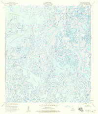
1953 · Dog Lake
USGS Topo · 1:24,000
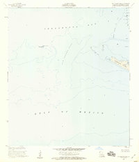
1953 · Cat Island Pass
USGS Topo · 1:24,000