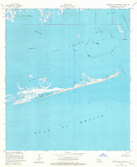
1953 Map of Eastern Isles Dernieres
USGS Topo · Published 1965About this map
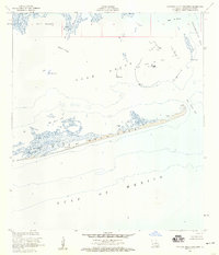
Isles Dernieres stretches across this mid-century survey, forming a critical barrier between the Gulf of Mexico and the interior estuarine waters. The map captures a landscape defined by fluid boundaries and maritime industry, where Lake Pelto and Terrebonne Bay meet at the edge of the Louisiana coast. An active Oil Field is documented in the central waters of the lake, accompanied by a Radio Mast and Dolphins, marking the technological footprint of the era's energy extraction.
Find a feature on this map
16 named features on this map. Tap any name to fly to it.
Don’t see what you’re looking for? This feature index may not catch every label — zoom into the map to look around manually.
Map Details
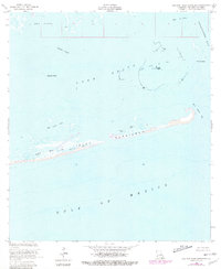
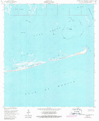
Editions of this 1953 Eastern Isles Dernieres Map
4 editions found
Other maps of this area

1935 · Cocodrie
USGS Topo · 1:31,680
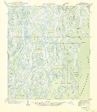
1945 · Cocodrie
USGS Topo · 1:31,680

1945 · Lake La Graisse
USGS Topo · 1:31,680

1945 · New Orleans
USGS Topo · 1:250,000

1946 · Lake La Graisse
USGS Topo · 1:31,680
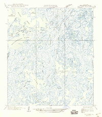
1949 · Dog Lake
USGS Topo · 1:31,680
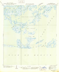
1950 · Derniere
USGS Topo · 1:31,680
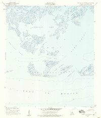
1953 · Central Isles Dernieres
USGS Topo · 1:24,000
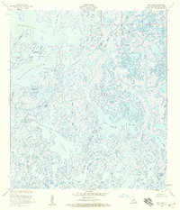
1953 · Dog Lake
USGS Topo · 1:24,000
1953 · Eastern Isles Dernieres
USGS Topo · 1:24,000