
2018 Map of Eastern Isles Dernieres
USGS Topo · Published 2018About this map
Isles Dernieres, a fragile chain of barrier islands off the coast of Terrebonne Parish, dominate this 2018 coastal survey. These islands separate the open Gulf of Mexico from the intricate network of bays and passes to the north, including Trinity Bay and Terrebonne Bay. The landscape is defined by the constant movement of water through features like Old Camp Pass and Wine Island Pass, which facilitate the exchange between the interior marshlands and the sea. Inland, landmarks such as Bodwin Point and Point Mast rise above the surrounding water, marking the transition from the gulf to the shallower reaches of Bay Blanc and Pass la Poule. This map documents a highly dynamic environment where features like Trinity Bayou and Bodwin Cutoff illustrate the evolving shoreline and the persistent natural forces shaping the Louisiana deltaic coast.
Find a feature on this map
20 named features on this map. Tap any name to fly to it.
Don’t see what you’re looking for? This feature index may not catch every label — zoom into the map to look around manually.
Map Details
Editions of this 2018 Eastern Isles Dernieres Map
This is the sole edition of this map. No revisions or reprints were ever made.
Other maps of this area
1935 · Cocodrie
USGS Topo · 1:31,680
1945 · Cocodrie
USGS Topo · 1:31,680
1945 · Lake La Graisse
USGS Topo · 1:31,680
1945 · New Orleans
USGS Topo · 1:250,000
1946 · Lake La Graisse
USGS Topo · 1:31,680
1949 · Dog Lake
USGS Topo · 1:31,680
1950 · Derniere
USGS Topo · 1:31,680
1953 · Central Isles Dernieres
USGS Topo · 1:24,000
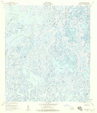
1953 · Dog Lake
USGS Topo · 1:24,000
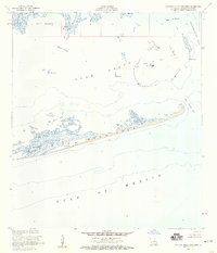
1953 · Eastern Isles Dernieres
USGS Topo · 1:24,000