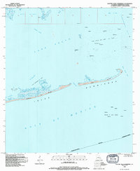
1994 Map of Eastern Isles Dernieres
USGS Topo · Published 1994About this map
Isles Dernieres stretches across the southern reach of this coastal survey, showing a landscape defined by erosion and industry in the early 1990s. The barrier islands, including Trinity Island and East Island, are separated by shifting channels like Coupe Juan and Wine Island Pass. This era represents a significant period of offshore extraction, with the Lake Pelto Gas and Oil Field and the Block 8 Gas Field dominating the waters of Lake Pelto and the Gulf of Mexico. Numerous offshore platforms and a Radio Mast are charted, indicating the dense infrastructure required for maritime energy production. The northern portion of the map is dominated by the open waters of Terrebonne Bay and Bay Blanc, with internal waterways like Bodwin Cutoff and Pass la Poule providing passage through the marshy fringes of Louisiana's Terrebonne Parish.
Find a feature on this map
21 named features on this map. Tap any name to fly to it.
Don’t see what you’re looking for? This feature index may not catch every label — zoom into the map to look around manually.
Map Details
Editions of this 1994 Eastern Isles Dernieres Map
This is the sole edition of this map. No revisions or reprints were ever made.
Other maps of this area

1935 · Cocodrie
USGS Topo · 1:31,680
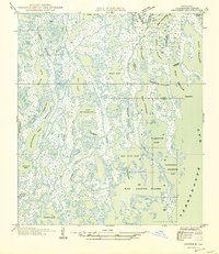
1945 · Cocodrie
USGS Topo · 1:31,680

1945 · Lake La Graisse
USGS Topo · 1:31,680

1945 · New Orleans
USGS Topo · 1:250,000

1946 · Lake La Graisse
USGS Topo · 1:31,680
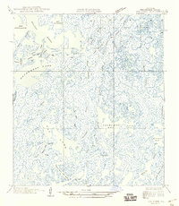
1949 · Dog Lake
USGS Topo · 1:31,680
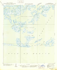
1950 · Derniere
USGS Topo · 1:31,680
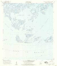
1953 · Central Isles Dernieres
USGS Topo · 1:24,000
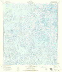
1953 · Dog Lake
USGS Topo · 1:24,000
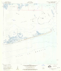
1953 · Eastern Isles Dernieres
USGS Topo · 1:24,000