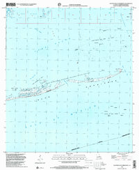
1998 Map of Eastern Isles Dernieres
USGS Topo · Published 2001About this map
Isles Dernieres stretches across the center of this coastal survey, serving as a critical barrier between the Gulf of Mexico and the interior waters of Lake Pelto and Terrebonne Bay. The map documents a landscape defined by the intersection of conservation and heavy industry at the end of the twentieth century. Much of the land is designated as the Isles Dernieres Barrier Islands State Refuge, yet the surrounding waters are heavily developed for energy extraction. Numerous offshore structures are identified, including specific zones like the Isles Dernieres Oil Field, Trinity Bayou Oil Field, and the Block 8 Gas Field. Maritime navigation is traced through named channels such as Wine Island Pass, Pass la Poule, and Old Camp Pass, while interior landmarks like Bodwin and Edna provide fixed points amidst the shifting shoals and marshes of southern Louisiana.
Find a feature on this map
26 named features on this map. Tap any name to fly to it.
Don’t see what you’re looking for? This feature index may not catch every label — zoom into the map to look around manually.
Map Details
Editions of this 1998 Eastern Isles Dernieres Map
This is the sole edition of this map. No revisions or reprints were ever made.
Other maps of this area

1935 · Cocodrie
USGS Topo · 1:31,680
1945 · Cocodrie
USGS Topo · 1:31,680

1945 · Lake La Graisse
USGS Topo · 1:31,680

1945 · New Orleans
USGS Topo · 1:250,000

1946 · Lake La Graisse
USGS Topo · 1:31,680
1949 · Dog Lake
USGS Topo · 1:31,680
1950 · Derniere
USGS Topo · 1:31,680
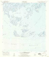
1953 · Central Isles Dernieres
USGS Topo · 1:24,000
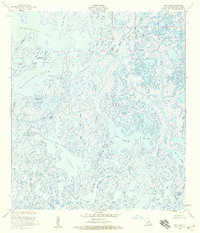
1953 · Dog Lake
USGS Topo · 1:24,000
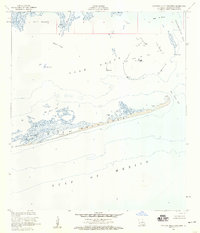
1953 · Eastern Isles Dernieres
USGS Topo · 1:24,000