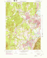
1964 Map of Easthampton
USGS Topo · Published 1979About this map
The Connecticut River forms a sweeping Oxbow in this mid-century portrait of the Pioneer Valley, where industrial centers like Northampton and Easthampton are established alongside institutional landmarks. Education and healthcare define the local landscape, visible through the grounds of Smith College, Williston Academy, and the sprawling Northampton State Hospital. To the west, the Sawmill Hills and Mineral Hills provide a contrast to the dense settlement patterns near the river, while the Conrail lines connect the mills and manufacturing centers of the era.
Find a feature on this map
102 named features on this map. Tap any name to fly to it.
Don’t see what you’re looking for? This feature index may not catch every label — zoom into the map to look around manually.
Map Details
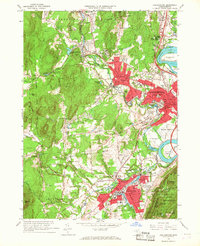
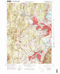
Editions of this 1964 Easthampton Map
3 editions found
Other maps of this area

1885 · Northampton
USGS Topo · 1:62,500

1886 · Springfield
USGS Topo · 1:62,500

1886 · Chesterfield
USGS Topo · 1:62,500

1886 · Northampton
USGS Topo · 1:62,500

1887 · Granville
USGS Topo · 1:62,500

1888 · Chesterfield
USGS Topo · 1:62,500

1889 · Springfield
USGS Topo · 1:62,500

1889 · Granville
USGS Topo · 1:62,500

1891 · Northampton
USGS Topo · 1:62,500

1893 · Northampton
USGS Topo · 1:62,500