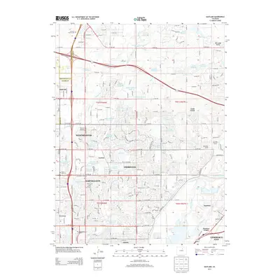
2013 Map of Eastlake
USGS Topo · Published 2013About this map
The intersection of agriculture and suburban expansion defines this portion of the northern Denver metropolitan area, where numerous irrigation features like Signal Ditch and German Ditch continue to serve the landscape. The settlement of Eastlake sits centrally, surrounded by the growing municipalities of Thornton, Northglenn, and Westminster. This era of the landscape is marked by a high density of water storage facilities, including Wadley Reservoir Number 1 and Eastlake Reservoir Number 1, which supported the region's transition from open fields to residential communities. Local history is anchored by sites such as the Wesley Chapel Cemetery and Highland Memorial Gardens. To the southeast, the industrial and transport history of the area is evident at Hazeltine Siding and the community of Quimby, while educational development is noted at the Metropolitan State University of Denver North Campus.
Find a feature on this map
113 named features on this map. Tap any name to fly to it.
Don’t see what you’re looking for? This feature index may not catch every label — zoom into the map to look around manually.
Map Details
Editions of this 2013 Eastlake Map
This is the sole edition of this map. No revisions or reprints were ever made.
Other maps of this area

1890 · East Denver
USGS Topo · 1:125,000

1899 · West Denver
USGS Topo · 1:125,000

1902 · Greeley
USGS Topo · 1:125,000

1904 · Niwot
USGS Topo · 1:62,500

1938 · Derby
USGS Topo · 1:24,000

1938 · Long Branch
USGS Topo · 1:24,000

1940 · Brighton
USGS Topo · 1:31,680

1940 · Eastlake
USGS Topo · 1:31,680

1940 · Lafayette
USGS Topo · 1:31,680

1940 · Derby
USGS Topo · 1:31,680