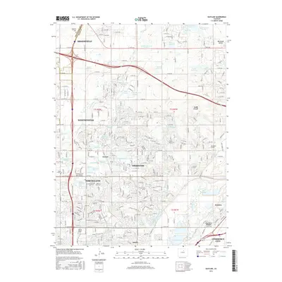
2016 Map of Eastlake
USGS Topo · Published 2016About this map
Thornton and its neighboring northern Denver suburbs are defined by a sophisticated network of water management and residential expansion in this mid-2010s study. The landscape is dotted with numerous small reservoirs such as Metzger Reservoir and Wadley Reservoir Number 1, connected by historical irrigation lifelines like Signal Ditch, German Ditch, and Bull Canal. This intricate system reflects the region's agricultural roots while supporting modern suburban development. To the west, the campus of Metropolitan State University of Denver sits near Northglenn, while the community of Eastlake remains a distinct anchor within the broader city limits. Small pockets of rural-to-suburban transition are visible at Hi-Land Acres and Hazeltine, while Wesley Chapel Cem serves as a quiet marker of the area's local genealogy and history amidst the growing grid of thoroughfares like Huron St.
Find a feature on this map
138 named features on this map. Tap any name to fly to it.
Don’t see what you’re looking for? This feature index may not catch every label — zoom into the map to look around manually.
Map Details
Editions of this 2016 Eastlake Map
This is the sole edition of this map. No revisions or reprints were ever made.
Other maps of this area

1890 · East Denver
USGS Topo · 1:125,000

1899 · West Denver
USGS Topo · 1:125,000

1902 · Greeley
USGS Topo · 1:125,000

1904 · Niwot
USGS Topo · 1:62,500

1938 · Derby
USGS Topo · 1:24,000

1938 · Long Branch
USGS Topo · 1:24,000

1940 · Brighton
USGS Topo · 1:31,680

1940 · Eastlake
USGS Topo · 1:31,680

1940 · Lafayette
USGS Topo · 1:31,680

1940 · Derby
USGS Topo · 1:31,680