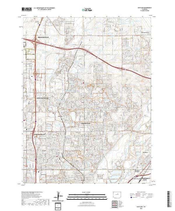
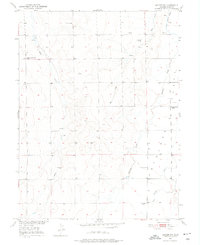
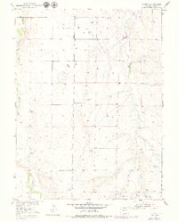
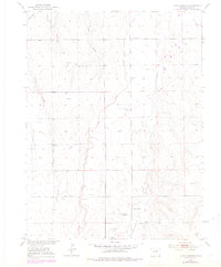
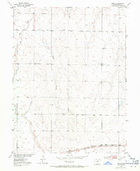
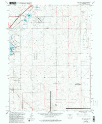
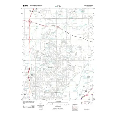
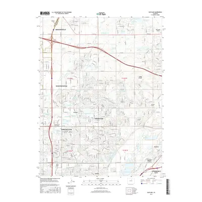
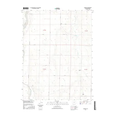
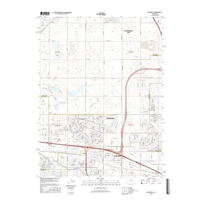
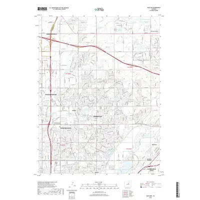
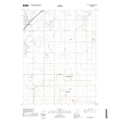
2022 Map of Eastlake
USGS Topo · Published 2022About this map
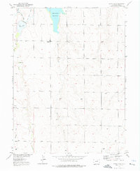
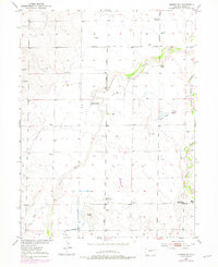
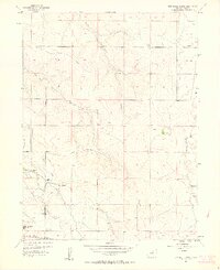
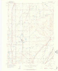
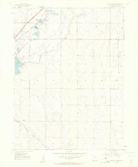
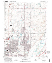
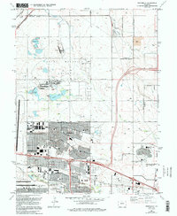
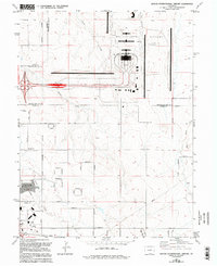
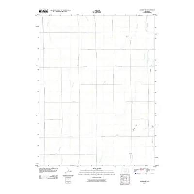
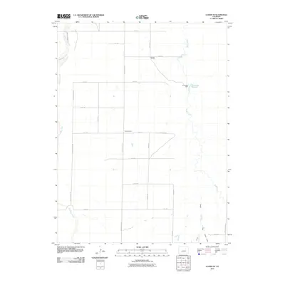
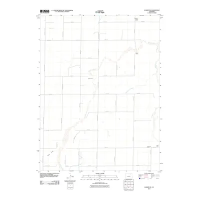
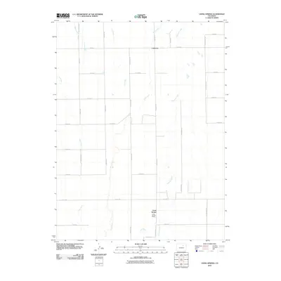
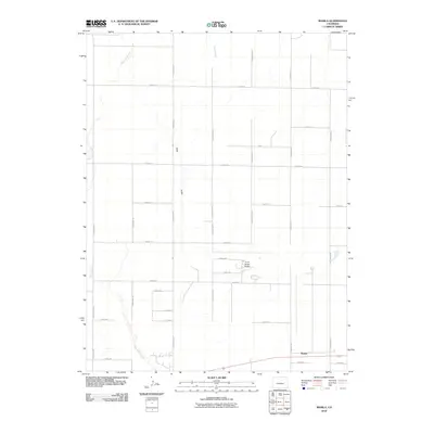
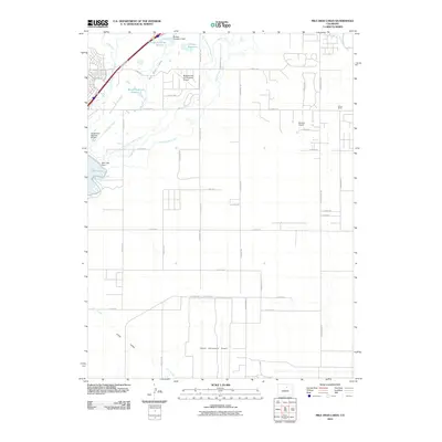
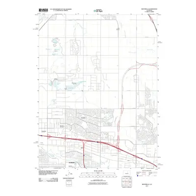
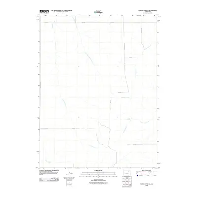
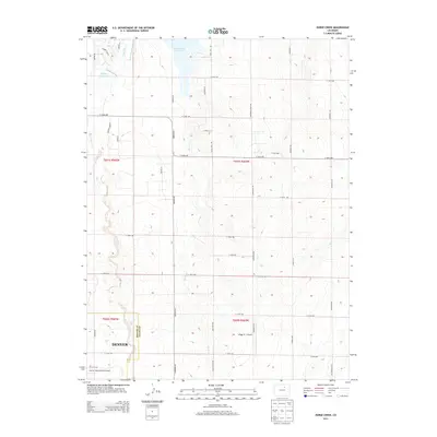
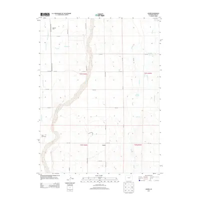
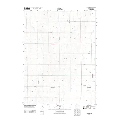
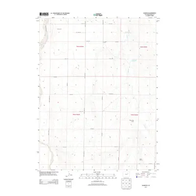
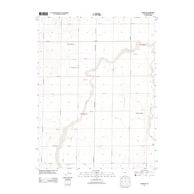
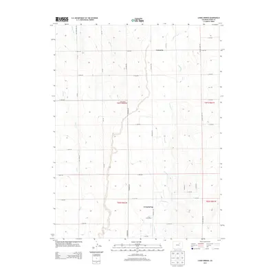
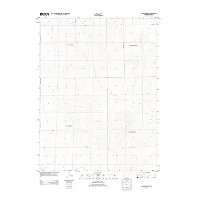
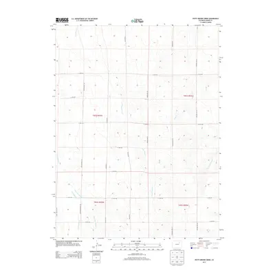
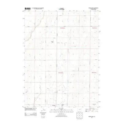
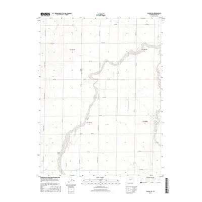
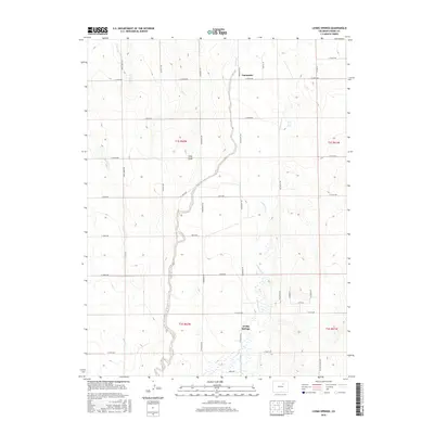
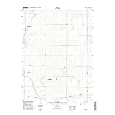
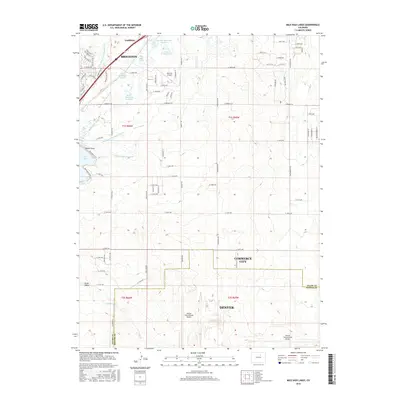
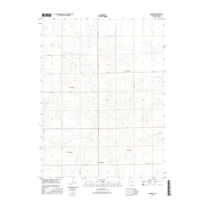
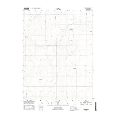
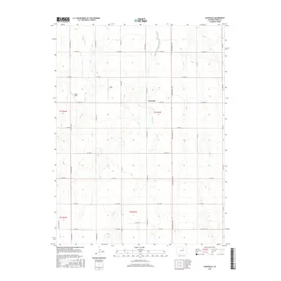
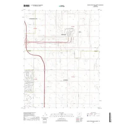
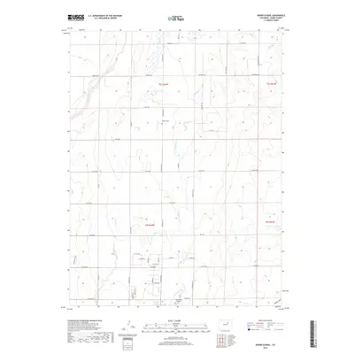
Thornton and its neighboring suburbs represent a landscape where water management and residential development are inextricably linked. The map reveals an intricate network of irrigation and drainage features, such as the Farmers High Line Canal, Fulton Ditch, and Brantner Gulch, which have historically shaped the expansion of these North Denver communities. Dozens of engineered water bodies, including the Wadley Reservoir Number 1 and Eastlake Reservoir Number One, are interspersed with modern residential blocks, illustrating how the region's agricultural roots were adapted for suburban utility.
Find a feature on this map
136 named features on this map. Tap any name to fly to it.
Don’t see what you’re looking for? This feature index may not catch every label — zoom into the map to look around manually.
Map Details
Editions of this 2022 Eastlake Map
This is the sole edition of this map. No revisions or reprints were ever made.
Historical Maps of Thornton Through Time
117 maps found

1890 East Denver
Adams County, CO

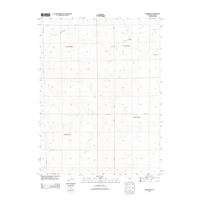
1938 Long Branch
Adams County, CO

1940 Eastlake
Adams County, CO

1941 Long Branch
Adams County, CO

1942 Box Elder School
Adams County, CO

1942 Mile High Lakes
Adams County, CO

1944 Eastlake
Adams County, CO

1948 Long Branch
Adams County, CO
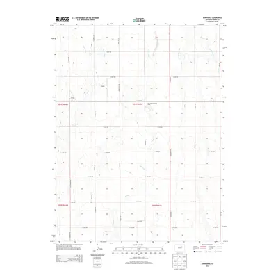
1949 Sunnydale
Adams County, CO
1950 Roper School
Adams County, CO
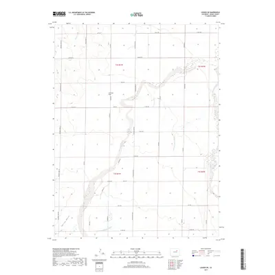
1951 Leader
Adams County, CO
1951 Leader NW
Adams County, CO
1951 Leader SE
Adams County, CO
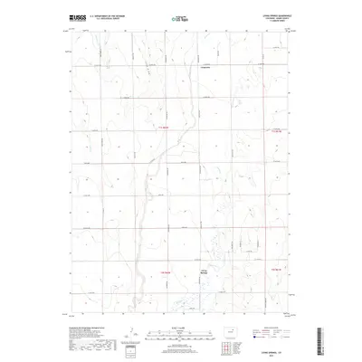
1951 Living Springs
Adams County, CO
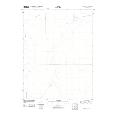
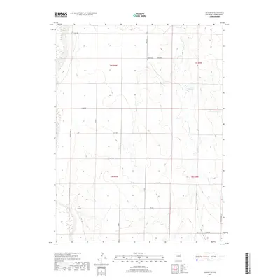
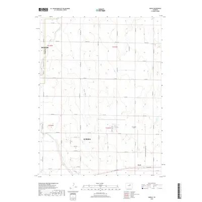
1951 Manila
Adams County, CO

1951 Roper School
Adams County, CO
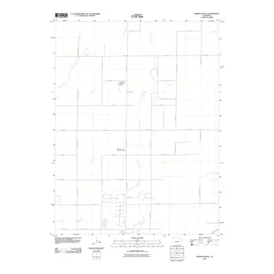
1952 Horse Creek
Adams County, CO
1952 Leader SW
Adams County, CO
1957 Box Elder School
Adams County, CO
1957 Eastlake
Adams County, CO
1957 Mile High Lakes
Adams County, CO

1957 Sable
Adams County, CO
1965 Eastlake
Adams County, CO
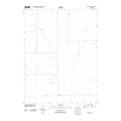
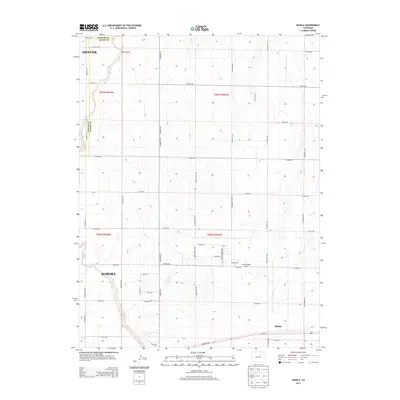
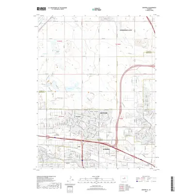
1965 Montbello
Adams County, CO
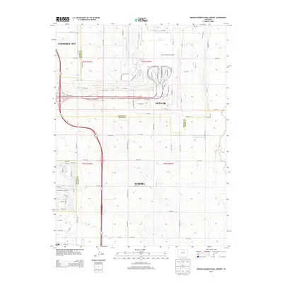
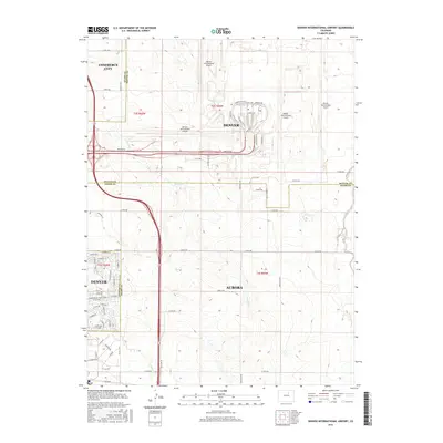
1966 Denver International Airport
Adams County, CO
1966 Mile High Lakes
Adams County, CO

1972 Long Branch
Adams County, CO
1973 Poison Springs
Adams County, CO
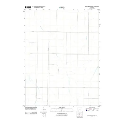
1973 Potty Brown Creek
Adams County, CO

1973 Shamrock
Adams County, CO
1973 Shamrock SE
Adams County, CO

1981 Denver East
Adams County, CO
2010 Denver International Airport
Adams County, CO
2010 Eastlake
Adams County, CO
2010 Horse Creek
Adams County, CO
2010 Leader
Adams County, CO
2010 Leader NW
Adams County, CO
2010 Leader SE
Adams County, CO
2010 Leader SW
Adams County, CO
2010 Living Springs
Adams County, CO
2010 Manila
Adams County, CO
2010 Mile High Lakes
Adams County, CO
2010 Montbello
Adams County, CO
2010 Poison Springs
Adams County, CO
2010 Potty Brown Creek
Adams County, CO
2010 Roper School
Adams County, CO
2010 Shamrock
Adams County, CO
2010 Shamrock SE
Adams County, CO
2010 Sunnydale
Adams County, CO
2013 Denver International Airport
Adams County, CO
2013 Eastlake
Adams County, CO
2013 Horse Creek
Adams County, CO
2013 Leader
Adams County, CO
2013 Leader NW
Adams County, CO
2013 Leader SE
Adams County, CO
2013 Leader SW
Adams County, CO
2013 Living Springs
Adams County, CO
2013 Manila
Adams County, CO
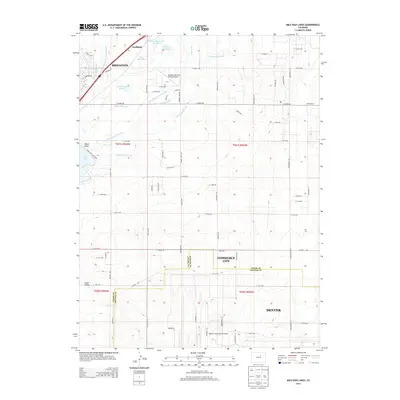
2013 Mile High Lakes
Adams County, CO
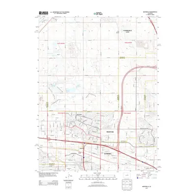
2013 Montbello
Adams County, CO
2013 Poison Springs
Adams County, CO
2013 Potty Brown Creek
Adams County, CO
2013 Roper School
Adams County, CO
2013 Shamrock
Adams County, CO
2013 Shamrock SE
Adams County, CO
2013 Sunnydale
Adams County, CO
2016 Denver International Airport
Adams County, CO
2016 Eastlake
Adams County, CO
2016 Horse Creek
Adams County, CO
2016 Leader
Adams County, CO
2016 Leader NW
Adams County, CO
2016 Leader SE
Adams County, CO
2016 Leader SW
Adams County, CO
2016 Living Springs
Adams County, CO
2016 Manila
Adams County, CO
2016 Mile High Lakes
Adams County, CO
2016 Montbello
Adams County, CO
2016 Poison Springs
Adams County, CO
2016 Potty Brown Creek
Adams County, CO
2016 Roper School
Adams County, CO
2016 Shamrock
Adams County, CO
2016 Shamrock SE
Adams County, CO
2016 Sunnydale
Adams County, CO
2019 Denver International Airport
Adams County, CO
2019 Eastlake
Adams County, CO
2019 Horse Creek
Adams County, CO
2019 Leader
Adams County, CO
2019 Leader NW
Adams County, CO
2019 Leader SE
Adams County, CO
2019 Leader SW
Adams County, CO
2019 Living Springs
Adams County, CO
2019 Manila
Adams County, CO
2019 Mile High Lakes
Adams County, CO
2019 Montbello
Adams County, CO
2019 Poison Springs
Adams County, CO
2019 Potty Brown Creek
Adams County, CO
2019 Roper School
Adams County, CO
2019 Shamrock
Adams County, CO
2019 Shamrock SE
Adams County, CO
2019 Sunnydale
Adams County, CO
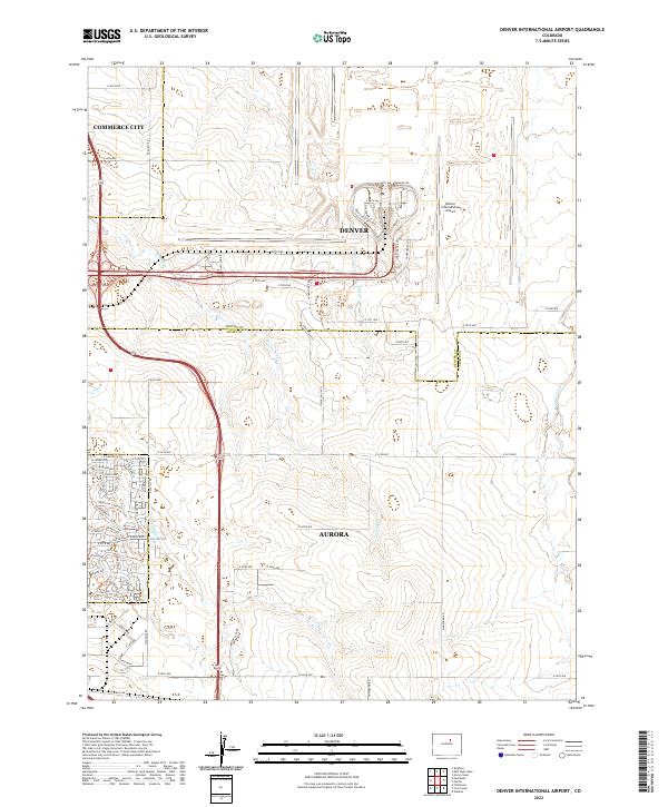
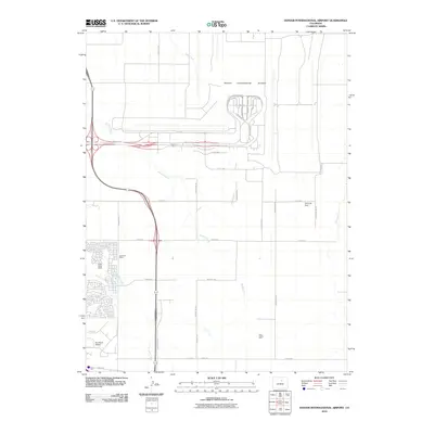
2022 Denver International Airport
Adams County, CO
2022 Eastlake
Adams County, CO
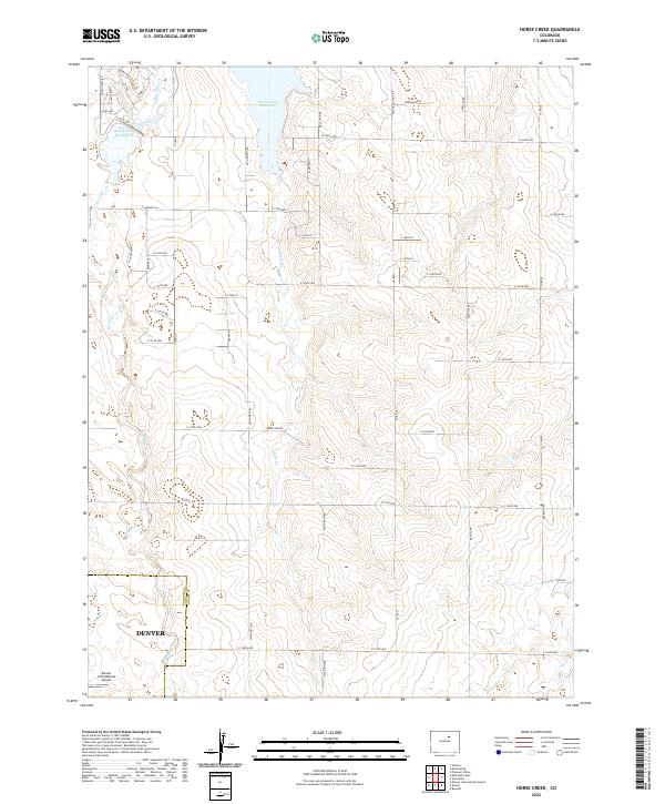
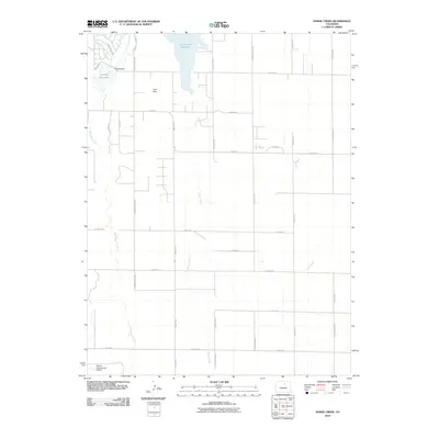
2022 Horse Creek
Adams County, CO
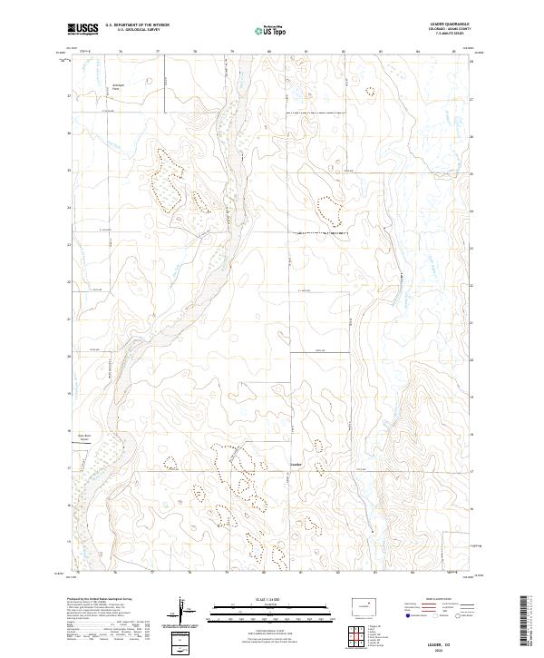
2022 Leader
Adams County, CO

2022 Leader NW
Adams County, CO
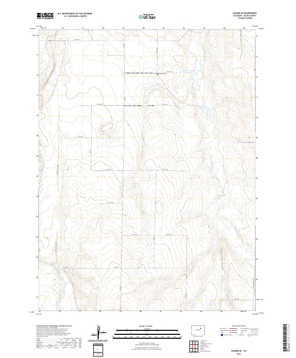
2022 Leader SE
Adams County, CO
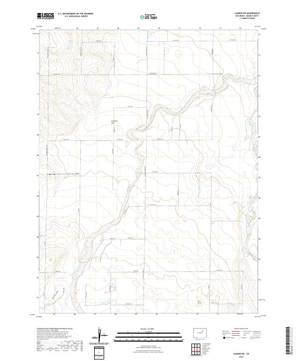
2022 Leader SW
Adams County, CO
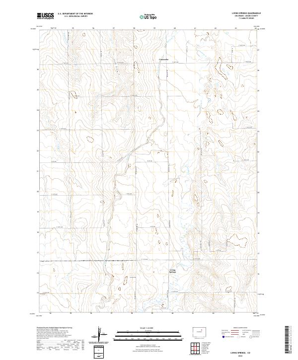
2022 Living Springs
Adams County, CO
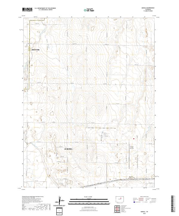
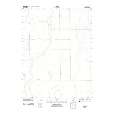
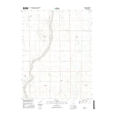
2022 Manila
Adams County, CO
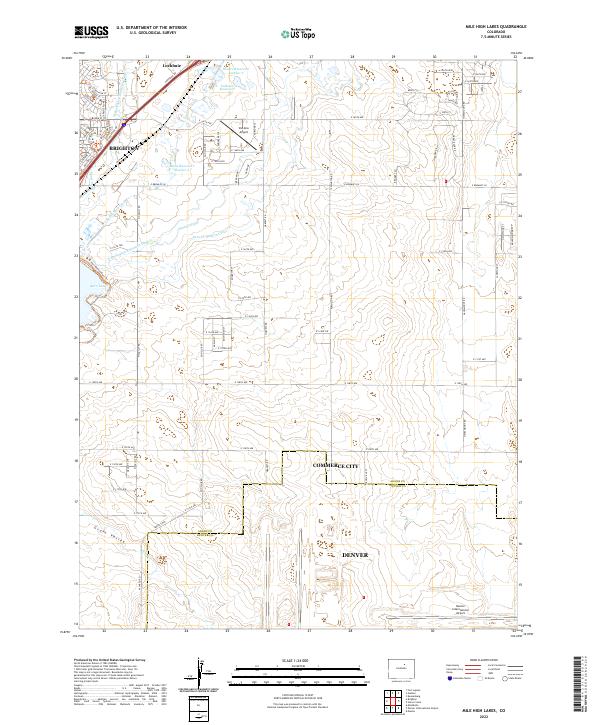
2022 Mile High Lakes
Adams County, CO

2022 Montbello
Adams County, CO
2022 Poison Springs
Adams County, CO
2022 Potty Brown Creek
Adams County, CO
2022 Roper School
Adams County, CO

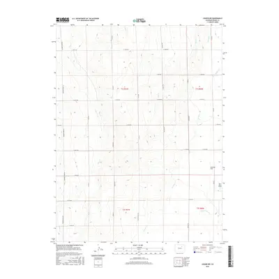
2022 Shamrock
Adams County, CO
2022 Shamrock SE
Adams County, CO
2022 Sunnydale
Adams County, CO