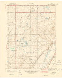
1944 Map of Eastlake
USGS Topo · Published 1944About this map
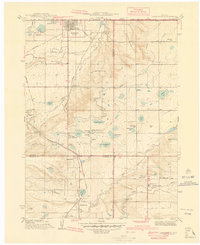
The South Platte River and its accompanying irrigation network define this 1938 landscape in Adams County, just north of Denver. The map reveals an intensive agricultural economy sustained by complex water management, including the Union Ditch, Bull Canal, and Signal Ditch. Small rural settlements like Eastlake and Hazeltine serve as focal points for local farmers, supported by a system of country schools including Pleasantview Sch and Moreland Sch. The Union Pacific railroad corridor runs through the heart of the area, providing the essential link for transporting goods from the high plains to the growing city markets.
Find a feature on this map
44 named features on this map. Tap any name to fly to it.
Don’t see what you’re looking for? This feature index may not catch every label — zoom into the map to look around manually.
Map Details
Editions of this 1944 Eastlake Map
This is the sole edition of this map. No revisions or reprints were ever made.
Other maps of this area
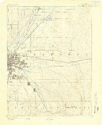
1890 · East Denver
USGS Topo · 1:125,000

1899 · West Denver
USGS Topo · 1:125,000
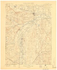
1902 · Greeley
USGS Topo · 1:125,000
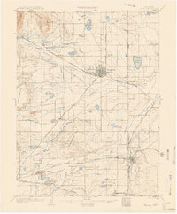
1904 · Niwot
USGS Topo · 1:62,500
1938 · Derby
USGS Topo · 1:24,000
1938 · Long Branch
USGS Topo · 1:24,000
1940 · Brighton
USGS Topo · 1:31,680
1940 · Eastlake
USGS Topo · 1:31,680
1940 · Lafayette
USGS Topo · 1:31,680
1940 · Derby
USGS Topo · 1:31,680