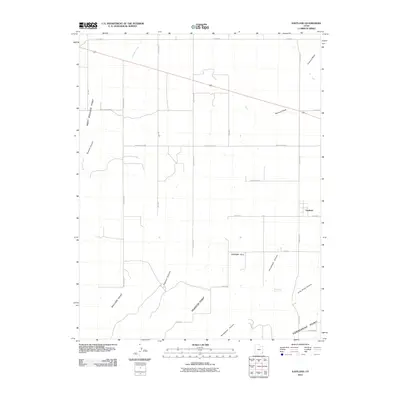
2011 Map of Eastland
USGS Topo · Published 2011About this map
Eastland stands as the primary settlement on this high plateau, surrounded by a grid of rural roads and dramatic geologic drainage systems. The landscape is defined by deep incisions like Boulder Canyon and Pearson Canyon, which flow toward significant overlooks including West Boulder Point and Pearson Point. The area's agricultural and ranching character is evidenced by roads such as North Dude Rnch and True Blood, alongside the practical Boulder Cutoff. To the southeast, the terrain drops away into Long Draw Canyon near Horsehead Point, where Horsehead Spring provides a vital water source in this arid environment. This map captures the intersection of established homesteads and the unforgiving canyon country of San Juan County.
Find a feature on this map
28 named features on this map. Tap any name to fly to it.
Don’t see what you’re looking for? This feature index may not catch every label — zoom into the map to look around manually.
Map Details
Editions of this 2011 Eastland Map
This is the sole edition of this map. No revisions or reprints were ever made.
Other maps of this area

1886 · Abajo
USGS Topo · 1:250,000

1892 · Abajo
USGS Topo · 1:250,000

1893 · Abajo
USGS Topo · 1:250,000

1955 · Verdure 4 NW
USGS Topo · 1:24,000

1955 · Verdure 2 SE
USGS Topo · 1:24,000

1955 · Verdure 1 SW
USGS Topo · 1:24,000

1955 · Verdure 3 NE
USGS Topo · 1:24,000

1956 · Cortez
USGS Topo · 1:250,000

1957 · Monument Canyon
USGS Topo · 1:62,500

1957 · Blanding
USGS Topo · 1:62,500