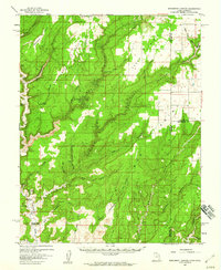
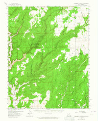
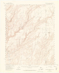
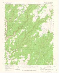
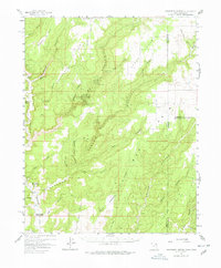
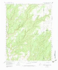
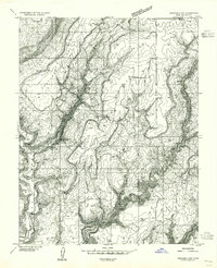
1957 Map of Monument Canyon
USGS Topo · Published 1960About this map
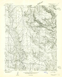
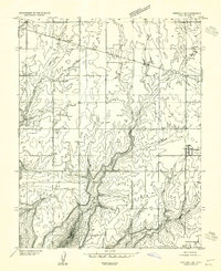
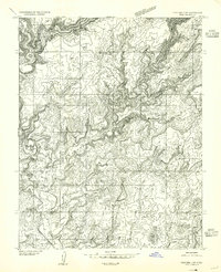
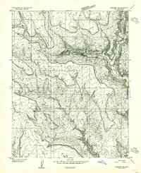
Montezuma Canyon and its many tributaries define this high desert landscape along the border of Utah and Colorado. The 1957 survey reveals a terrain deeply marked by ancient habitation and early 20th-century ranching life. Dozens of Cliff Dwellings and Petroglyphs are documented along the canyon walls, particularly near Bigwater and Bed Canyon. These archaeological sites sit alongside more modern infrastructure like the Maz Dalton Artesian Well and Bonnie Dalton Artesian Well, which provided essential water to Daltons Ranch. The map also captures several industrial and transit markers, including a Tramway near Pearsons Point and numerous Prospect locations, suggesting a period of mineral exploration. Remote landmarks like Pickett Corral and the Cemetery near the Colorado line offer specific points of interest for genealogists and local historians tracing the frontier families of San Juan County.
Find a feature on this map
48 named features on this map. Tap any name to fly to it.
Don’t see what you’re looking for? This feature index may not catch every label — zoom into the map to look around manually.
Map Details
Editions of this 1957 Monument Canyon Map
6 editions found
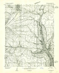
Other maps of this area

1886 · Abajo
USGS Topo · 1:250,000

1892 · Abajo
USGS Topo · 1:250,000

1893 · Abajo
USGS Topo · 1:250,000
1955 · Verdure 4 NW
USGS Topo · 1:24,000
1955 · Verdure 2 SE
USGS Topo · 1:24,000
1955 · Verdure 3 SE
USGS Topo · 1:24,000
1955 · Verdure 1 SW
USGS Topo · 1:24,000
1955 · Verdure 4 SW
USGS Topo · 1:24,000
1955 · Verdure 3 NE
USGS Topo · 1:24,000

1956 · Cortez
USGS Topo · 1:250,000