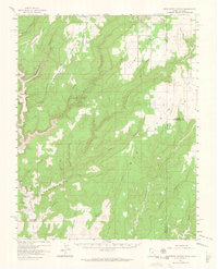
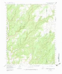
1957 Map of Monument Canyon
USGS Topo · Published 1964About this map
Ancient human history and mid-century ranching define this landscape along the Utah-Colorado border. Numerous Cliff Dwellings, Ruins, and Petroglyphs are recorded throughout the canyon systems, particularly within the walls of Montezuma Canyon and its many tributaries. These archeological sites stand in contrast to the localized development of the 1950s, which includes Daltons Ranch and water infrastructure such as the Max Dalton Artesian Well and Bonnie Dalton Artesian Well.
Find a feature on this map
51 named features on this map. Tap any name to fly to it.
Don’t see what you’re looking for? This feature index may not catch every label — zoom into the map to look around manually.
Map Details
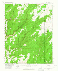
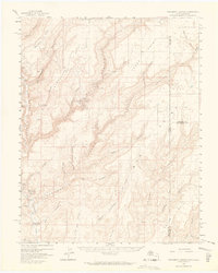
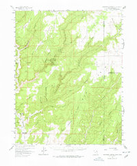
Editions of this 1957 Monument Canyon Map
6 editions found

Other maps of this area

1886 · Abajo
USGS Topo · 1:250,000

1892 · Abajo
USGS Topo · 1:250,000

1893 · Abajo
USGS Topo · 1:250,000

1955 · Verdure 4 NW
USGS Topo · 1:24,000

1955 · Verdure 2 SE
USGS Topo · 1:24,000

1955 · Verdure 3 SE
USGS Topo · 1:24,000

1955 · Verdure 1 SW
USGS Topo · 1:24,000

1955 · Verdure 4 SW
USGS Topo · 1:24,000

1955 · Verdure 3 NE
USGS Topo · 1:24,000

1956 · Cortez
USGS Topo · 1:250,000