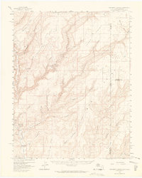
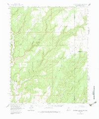
1957 Map of Monument Canyon
USGS Topo · Published 1964About this map
Montezuma Creek carves through the landscape along the Utah and Colorado border, revealing an area dense with archaeological and ranching history. The map highlights numerous cultural sites, including Cliff Dwelling structures, Ruins, and Petroglyphs, particularly within the canyons branching off the main waterway. Land ownership and local water rights are signaled by features like Daltons Ranch, the Max Dalton Artesian Well, and the Bonnie Dalton Artesian Well, indicating a reliance on localized water sources in this arid environment.
Find a feature on this map
44 named features on this map. Tap any name to fly to it.
Don’t see what you’re looking for? This feature index may not catch every label — zoom into the map to look around manually.
Map Details
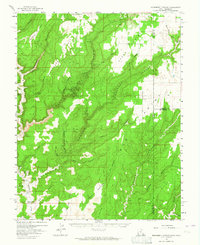
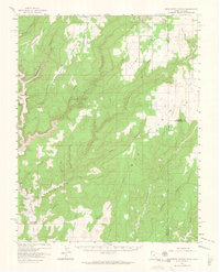
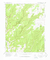
Editions of this 1957 Monument Canyon Map
6 editions found

Other maps of this area

1886 · Abajo
USGS Topo · 1:250,000

1892 · Abajo
USGS Topo · 1:250,000

1893 · Abajo
USGS Topo · 1:250,000

1955 · Verdure 4 NW
USGS Topo · 1:24,000

1955 · Verdure 2 SE
USGS Topo · 1:24,000

1955 · Verdure 3 SE
USGS Topo · 1:24,000

1955 · Verdure 1 SW
USGS Topo · 1:24,000

1955 · Verdure 4 SW
USGS Topo · 1:24,000

1955 · Verdure 3 NE
USGS Topo · 1:24,000

1956 · Cortez
USGS Topo · 1:250,000