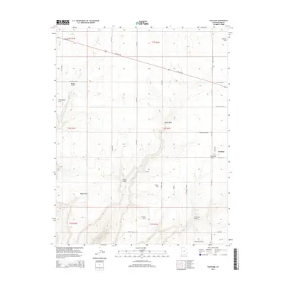
2014 Map of Eastland
USGS Topo · Published 2014About this map
Eastland sits at a high-desert crossroads in San Juan County, where a grid of rural roads meets the diagonal cut of E Highway 491. This high-altitude landscape is defined by the dramatic erosion of several drainage systems, including Boulder Canyon to the west and the sprawling Pearson Wash to the east. These canyons create prominent geographic markers such as West Boulder Point and Pearson Point, which dominate the local topography.
Find a feature on this map
37 named features on this map. Tap any name to fly to it.
Don’t see what you’re looking for? This feature index may not catch every label — zoom into the map to look around manually.
Map Details
Editions of this 2014 Eastland Map
This is the sole edition of this map. No revisions or reprints were ever made.
Other maps of this area

1886 · Abajo
USGS Topo · 1:250,000

1892 · Abajo
USGS Topo · 1:250,000

1893 · Abajo
USGS Topo · 1:250,000

1955 · Verdure 4 NW
USGS Topo · 1:24,000

1955 · Verdure 2 SE
USGS Topo · 1:24,000

1955 · Verdure 1 SW
USGS Topo · 1:24,000

1955 · Verdure 3 NE
USGS Topo · 1:24,000

1956 · Cortez
USGS Topo · 1:250,000

1957 · Monument Canyon
USGS Topo · 1:62,500

1957 · Blanding
USGS Topo · 1:62,500