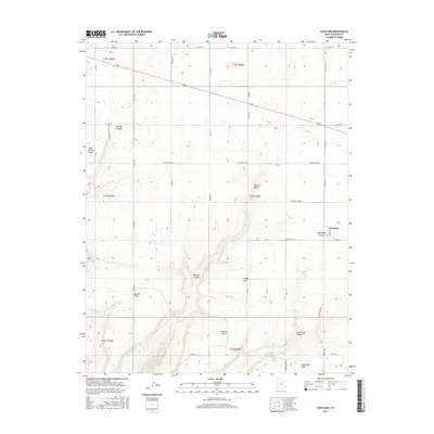
2017 Map of Eastland
USGS Topo · Published 2017About this map
Eastland anchors this high-plateau landscape in San Juan County, where a network of rural roads such as Sage St and S Eastland Rd connect the small settlement to the surrounding agricultural and ranching lands. The terrain is deeply incised by a series of prominent drainage systems, most notably Boulder Canyon and Pearson Canyon, which carve through the sandstone toward the west. These canyons are framed by significant overlooks and landmarks like West Boulder Point and Pearson Point, illustrating the dramatic verticality of the Four Corners region.
Find a feature on this map
46 named features on this map. Tap any name to fly to it.
Don’t see what you’re looking for? This feature index may not catch every label — zoom into the map to look around manually.
Map Details
Editions of this 2017 Eastland Map
This is the sole edition of this map. No revisions or reprints were ever made.
Other maps of this area
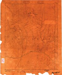
1886 · Abajo
USGS Topo · 1:250,000
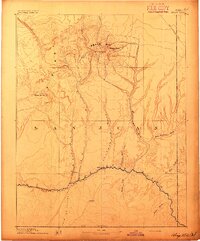
1892 · Abajo
USGS Topo · 1:250,000
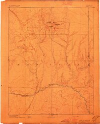
1893 · Abajo
USGS Topo · 1:250,000
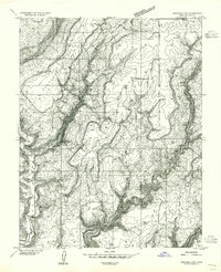
1955 · Verdure 4 NW
USGS Topo · 1:24,000
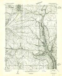
1955 · Verdure 2 SE
USGS Topo · 1:24,000
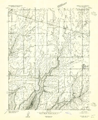
1955 · Verdure 1 SW
USGS Topo · 1:24,000
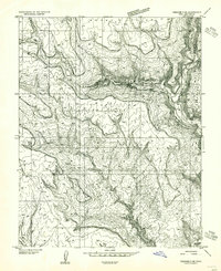
1955 · Verdure 3 NE
USGS Topo · 1:24,000
1956 · Cortez
USGS Topo · 1:250,000
1957 · Monument Canyon
USGS Topo · 1:62,500
1957 · Blanding
USGS Topo · 1:62,500