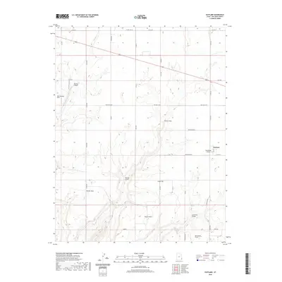
2020 Map of Eastland
USGS Topo · Published 2020About this map
Eastland serves as the primary settlement hub in this southeastern Utah landscape, where the plateau surface is deeply incised by a series of drainage systems. The geography is defined by prominent topographical markers like Boulder Point, Pearson Point, and Horsehead Point, which overlook the complex network of canyons below. Notable among these are Boulder Canyon and Pearson Canyon, which channel seasonal water through Boulder Cr and Pearson Wash. The road network reflects the area's rural character, with named routes like the Boulder Cutoff, Pearson Cutoff, and E Old Dude Ranch Rd connecting isolated points of interest. Higher elevations such as Ginger Hill and West Boulder Point provide a clear view of the transition between the agricultural lands near the town and the more broken terrain of Long Draw Canyon and Horsehead Canyon to the south.
Find a feature on this map
39 named features on this map. Tap any name to fly to it.
Don’t see what you’re looking for? This feature index may not catch every label — zoom into the map to look around manually.
Map Details
Editions of this 2020 Eastland Map
This is the sole edition of this map. No revisions or reprints were ever made.
Other maps of this area

1886 · Abajo
USGS Topo · 1:250,000

1892 · Abajo
USGS Topo · 1:250,000

1893 · Abajo
USGS Topo · 1:250,000

1955 · Verdure 4 NW
USGS Topo · 1:24,000

1955 · Verdure 2 SE
USGS Topo · 1:24,000

1955 · Verdure 1 SW
USGS Topo · 1:24,000

1955 · Verdure 3 NE
USGS Topo · 1:24,000

1956 · Cortez
USGS Topo · 1:250,000

1957 · Monument Canyon
USGS Topo · 1:62,500

1957 · Blanding
USGS Topo · 1:62,500