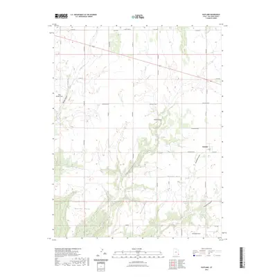
2023 Map of Eastland
USGS Topo · Published 2023About this map
Eastland serves as the primary settlement on this high-desert plateau, where the landscape is defined by a series of dramatic geographic fingers reaching southward. Notable promontories like West Boulder Point, Boulder Point, Pearson Point, and Horsehead Point overlook deep drainage systems including Boulder Canyon, Pearson Canyon, and Horsehead Canyon. These features demonstrate a pattern of human adaptation to the arid terrain, with roads like Boulder Cutoff and Pearson Cutoff bridging the gaps between these natural barriers.
Find a feature on this map
41 named features on this map. Tap any name to fly to it.
Don’t see what you’re looking for? This feature index may not catch every label — zoom into the map to look around manually.
Map Details
Editions of this 2023 Eastland Map
This is the sole edition of this map. No revisions or reprints were ever made.
Other maps of this area

1886 · Abajo
USGS Topo · 1:250,000

1892 · Abajo
USGS Topo · 1:250,000

1893 · Abajo
USGS Topo · 1:250,000

1955 · Verdure 4 NW
USGS Topo · 1:24,000

1955 · Verdure 2 SE
USGS Topo · 1:24,000

1955 · Verdure 1 SW
USGS Topo · 1:24,000

1955 · Verdure 3 NE
USGS Topo · 1:24,000

1956 · Cortez
USGS Topo · 1:250,000

1957 · Monument Canyon
USGS Topo · 1:62,500

1957 · Blanding
USGS Topo · 1:62,500