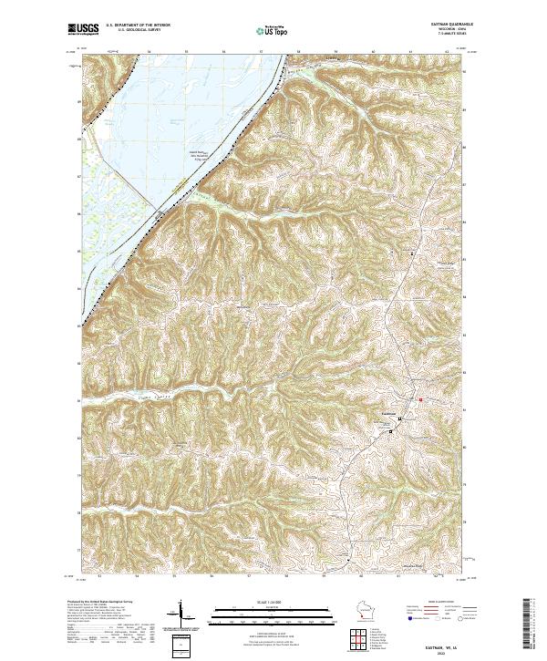
2022 Map of Eastman
USGS Topo · Published 2022About this map
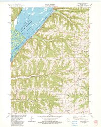
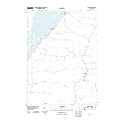
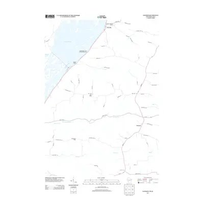
Eastman sits atop the high ground of Crawford Co Wisconsin, overlooking a complex system of ridges and coulees that drop toward the Mississippi River. This modern survey documents the steep topography of the Driftless Area, where narrow corridors like Morgan Hollow and Leitner Hollow carve through the landscape. Along the river, the intricate network of Harpers Slough and Saint Paul Slough creates a labyrinth of islands, including the uniquely designated Island Number One Hundred Fifty-nine.
Find a feature on this map
55 named features on this map. Tap any name to fly to it.
Don’t see what you’re looking for? This feature index may not catch every label — zoom into the map to look around manually.
Map Details
Editions of this 2022 Eastman Map
This is the sole edition of this map. No revisions or reprints were ever made.
Historical Maps of Seneca Through Time
6 maps found