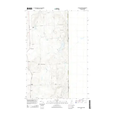
2014 Map of Easton Center
USGS Topo · Published 2014About this map
Easton Center and the surrounding agricultural landscapes of eastern Aroostook County are documented in this 2014 survey. Bordering the United States and Canada international line, the terrain is defined by low-lying wetlands and ridges such as Kinney Hill and Marsh Hawk Mountain. The settlement pattern reflects a deeply rooted community, with small clusters at Maple Grove, Fairmount, and Powers Corner. Local genealogy is well-represented through family and community landmarks, including Mt Shilo Cem and Ladner Fuller Cem. Waterways like River De Chute and Libby Brook drain the interior, while bodies of water such as Monson Pond and Fischer Lake punctuate the northern sections. The map traces the road network from Houlton Rd to the quiet reaches of Mahaney Rd at the southern boundary.
Find a feature on this map
46 named features on this map. Tap any name to fly to it.
Don’t see what you’re looking for? This feature index may not catch every label — zoom into the map to look around manually.
Map Details
Editions of this 2014 Easton Center Map
This is the sole edition of this map. No revisions or reprints were ever made.
Other maps of this area

1930 · Fort Fairfield
USGS Topo · 1:48,000

1933 · Fort Fairfield
USGS Topo · 1:62,500

1936 · Mars Hill
USGS Topo · 1:48,000

1940 · Mars Hill
USGS Topo · 1:62,500

1951 · Mars Hill
USGS Topo · 1:62,500

1951 · Fort Fairfield
USGS Topo · 1:62,500

1959 · Woodstock
USGS Topo · 1:250,000

1963 · Woodstock
USGS Topo · 1:250,000
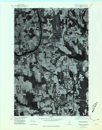
1975 · Mars Hill NW
USGS Topo · 1:24,000
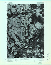
1975 · Fort Fairfield SE
USGS Topo · 1:24,000