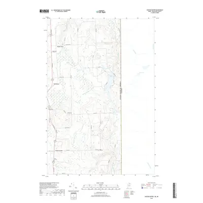
2018 Map of Easton Center
USGS Topo · Published 2018About this map
The international boundary defines the eastern edge of this landscape in Aroostook County, where the agricultural traditions of Northern Maine meet the New Brunswick border. The community of Easton Center serves as a primary focal point, situated south of Fairmount and Maple Grove. For genealogists, the map is remarkably detailed, identifying several historic burial grounds including Mount Shilo Cem, Haines Maple Grove Cem, and Ladner Fuller Cem, alongside the Pine Tree Church Cem.
Find a feature on this map
44 named features on this map. Tap any name to fly to it.
Don’t see what you’re looking for? This feature index may not catch every label — zoom into the map to look around manually.
Map Details
Editions of this 2018 Easton Center Map
This is the sole edition of this map. No revisions or reprints were ever made.
Other maps of this area

1930 · Fort Fairfield
USGS Topo · 1:48,000

1933 · Fort Fairfield
USGS Topo · 1:62,500

1936 · Mars Hill
USGS Topo · 1:48,000

1940 · Mars Hill
USGS Topo · 1:62,500

1951 · Mars Hill
USGS Topo · 1:62,500

1951 · Fort Fairfield
USGS Topo · 1:62,500

1959 · Woodstock
USGS Topo · 1:250,000

1963 · Woodstock
USGS Topo · 1:250,000
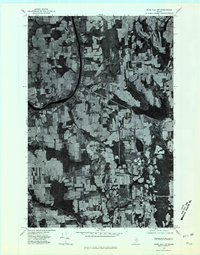
1975 · Mars Hill NW
USGS Topo · 1:24,000
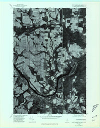
1975 · Fort Fairfield SE
USGS Topo · 1:24,000