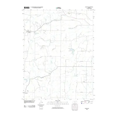
2009 Map of Easton
USGS Topo · Published 2009About this map
Stranger Creek winds through the heart of this Leavenworth County landscape, shaping a drainage network that includes Buckhorn Creek, Buttermilk Creek, and Dawson Creek. The settlement of Easton serves as a primary hub, complete with the Easton Post Office, while smaller locales like Springdale and the intersection at Eightmile House anchor the rural community. The road system is a blend of modern numbering and historical routes, most notably the Santa Fe Trl crossing the northeastern corner.
Find a feature on this map
54 named features on this map. Tap any name to fly to it.
Don’t see what you’re looking for? This feature index may not catch every label — zoom into the map to look around manually.
Map Details
Editions of this 2009 Easton Map
This is the sole edition of this map. No revisions or reprints were ever made.
Other maps of this area

1886 · Oskaloosa
USGS Topo · 1:125,000

1888 · Oskaloosa
USGS Topo · 1:125,000

1890 · Kansas City
USGS Topo · 1:125,000

1894 · Kansas City
USGS Topo · 1:125,000

1894 · Oskaloosa
USGS Topo · 1:125,000

1910 · Leavenworth
USGS Topo · 1:62,500

1934 · Bonner Springs
USGS Topo · 1:48,000

1940 · Bonner Springs
USGS Topo · 1:62,500

1948 · Oak Mills
USGS Topo · 1:24,000

1948 · Leavenworth
USGS Topo · 1:62,500