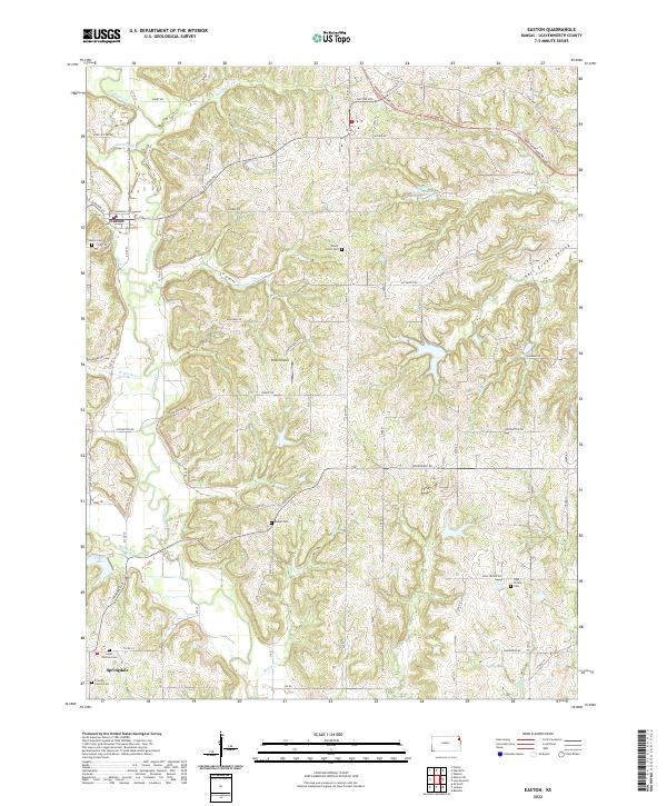
2022 Map of Easton
USGS Topo · Published 2022About this map
The community of Easton serves as a focal point in this Leavenworth County landscape, where the confluence of Stranger Cr and Dawson Cr shaped early settlement patterns. To the south, the village of Springdale is surrounded by a density of legacy sites, including Saint Thomas Cem and Friends Church Cem, which offer significant value for genealogical research. The northern boundary is marked by the path of the Santa Fe Trl, following the high ground above the Salt Creek Valley.
Find a feature on this map
50 named features on this map. Tap any name to fly to it.
Don’t see what you’re looking for? This feature index may not catch every label — zoom into the map to look around manually.
Map Details
Editions of this 2022 Easton Map
This is the sole edition of this map. No revisions or reprints were ever made.
Other maps of this area

1886 · Oskaloosa
USGS Topo · 1:125,000

1888 · Oskaloosa
USGS Topo · 1:125,000

1890 · Kansas City
USGS Topo · 1:125,000

1894 · Kansas City
USGS Topo · 1:125,000

1894 · Oskaloosa
USGS Topo · 1:125,000

1910 · Leavenworth
USGS Topo · 1:62,500

1934 · Bonner Springs
USGS Topo · 1:48,000

1940 · Bonner Springs
USGS Topo · 1:62,500

1948 · Oak Mills
USGS Topo · 1:24,000

1948 · Leavenworth
USGS Topo · 1:62,500