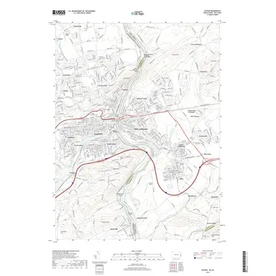
2019 Map of Easton
USGS Topo · Published 2019About this map
The Delaware River serves as the central artery for this Lehigh Valley region, physically dividing Easton, Pennsylvania, from Phillipsburg, New Jersey. This modern topography documents the dense urban centers of Wilson and West Easton as they give way to the rugged overlooks of Mount Washington and Saint Anthonys Nose. The map captures a landscape of intense historical depth, from the institutional presence of Lafayette College and the Northampton County Courthouse to the numerous burial grounds like Easton Cem and Saint Philip Cem. Southward, the terrain shifts into the industrial and rural stretches of Glendon and Raubsville, where the Musconetcong River joins the Delaware. Detailed road networks including Memorial Pkwy and New Brunswick Ave link the river towns to upland settlements such as Alpha and Greenwich.
Find a feature on this map
69 named features on this map. Tap any name to fly to it.
Don’t see what you’re looking for? This feature index may not catch every label — zoom into the map to look around manually.
Map Details
Editions of this 2019 Easton Map
This is the sole edition of this map. No revisions or reprints were ever made.
Other maps of this area

1890 · Easton
USGS Topo · 1:62,500

1891 · Easton
USGS Topo · 1:62,500

1891 · Delaware Water Gap
USGS Topo · 1:62,500

1893 · Delaware Water Gap
USGS Topo · 1:62,500

1894 · Allentown
USGS Topo · 1:62,500

1914 · Wind Gap
USGS Topo · 1:62,500

1916 · Wind Gap
USGS Topo · 1:62,500

1932 · Easton
USGS Topo · 1:62,500

1936 · Delaware Water Gap
USGS Topo · 1:48,000

1939 · Allentown
USGS Topo · 1:62,500