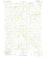
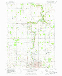
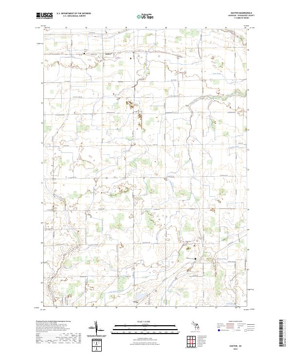
1975 Map of Easton
USGS Topo · Published 1978About this map
Agricultural life in Shiawassee County defines this mid-1970s landscape, where the town of Easton and the surrounding townships of New Haven, Hazelton, Caledonia, and Venice form a patchwork of family farms and rural homesteads. The terrain is marked by an extensive network of drainage systems, including Coon Drain and Sax on Drain, which support the low-lying fields. Small crossroads communities and service points appear throughout the quadrangle, notably at Jenkinson and Northwest Venice.
Find a feature on this map
36 named features on this map. Tap any name to fly to it.
Don’t see what you’re looking for? This feature index may not catch every label — zoom into the map to look around manually.
Map Details
Editions of this 1975 Easton Map
This is the sole edition of this map. No revisions or reprints were ever made.
Historical Maps of New Haven Township Through Time
30 maps found
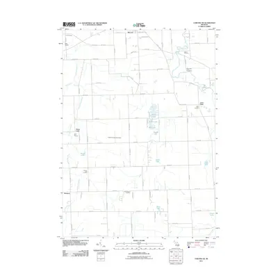
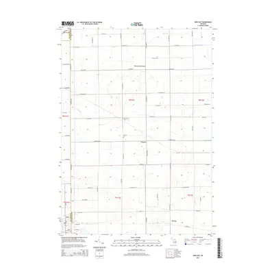
1972 Corunna SE
Shiawassee County, MI
1972 Owosso South
Shiawassee County, MI
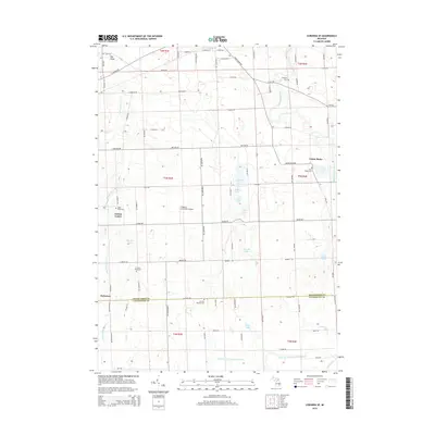
1974 Ovid East
Shiawassee County, MI
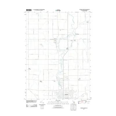
1974 Owosso North
Shiawassee County, MI
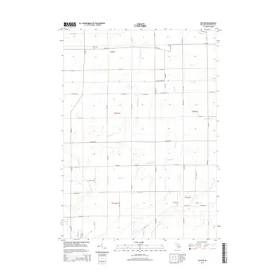
1975 Easton
Shiawassee County, MI
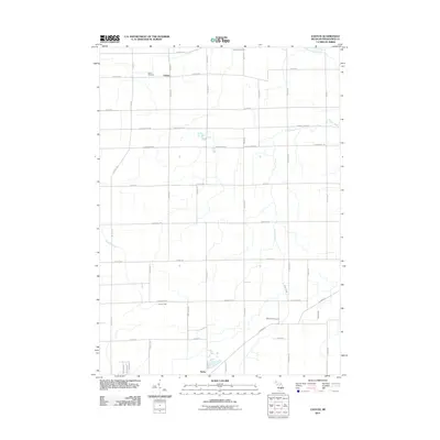
2011 Corunna SE
Shiawassee County, MI
2011 Easton
Shiawassee County, MI
2011 Ovid East
Shiawassee County, MI
2011 Owosso North
Shiawassee County, MI

2011 Owosso South
Shiawassee County, MI
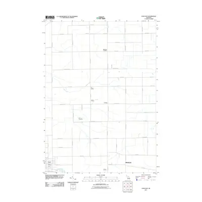
2014 Corunna SE
Shiawassee County, MI
2014 Easton
Shiawassee County, MI
2014 Ovid East
Shiawassee County, MI
2014 Owosso North
Shiawassee County, MI
2014 Owosso South
Shiawassee County, MI
2017 Corunna SE
Shiawassee County, MI
2017 Easton
Shiawassee County, MI
2017 Ovid East
Shiawassee County, MI
2017 Owosso North
Shiawassee County, MI
2017 Owosso South
Shiawassee County, MI

2019 Corunna SE
Shiawassee County, MI

2019 Easton
Shiawassee County, MI
2019 Ovid East
Shiawassee County, MI
2019 Owosso North
Shiawassee County, MI
2019 Owosso South
Shiawassee County, MI
2023 Corunna SE
Shiawassee County, MI
2023 Easton
Shiawassee County, MI
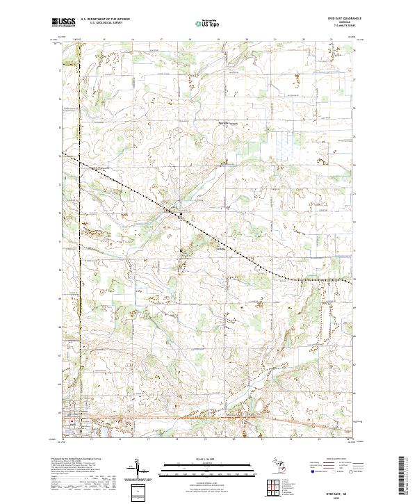
2023 Ovid East
Shiawassee County, MI
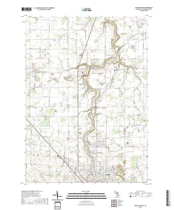
2023 Owosso North
Shiawassee County, MI
2023 Owosso South
Shiawassee County, MI
Featured Locations
- New Haven Township, MI
- Caledonia Charter Township, MI
- Hazelton Township, MI
- Venice Township, MI
- Easton, New Haven Township