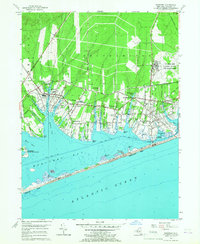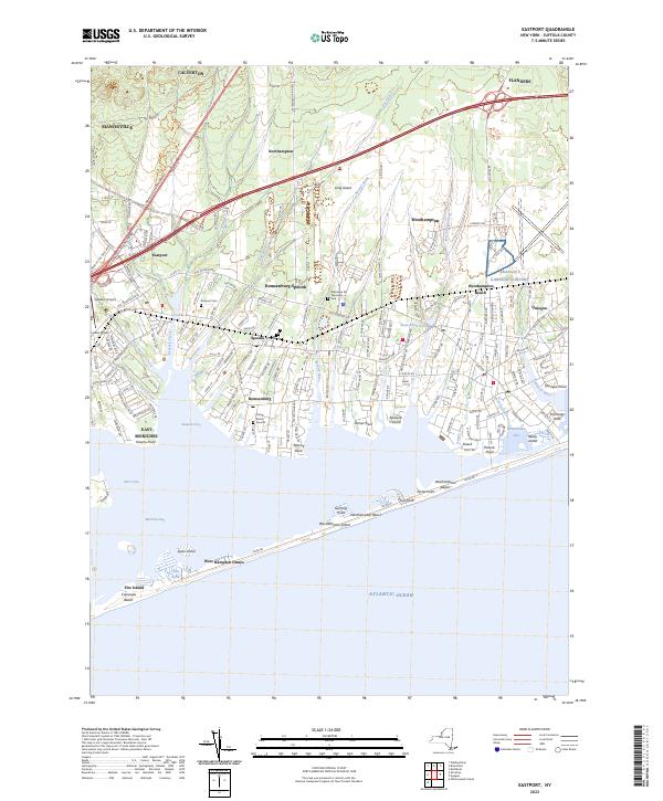
2023 Map of Eastport
USGS Topo · Published 2023About this map
Moriches Bay and the Atlantic shoreline define this portion of Long Island's South Shore, where coastal estuaries meet the barrier beach system of Fire Island and Westhampton Island. The map illustrates the fine-grained residential patterns of several distinctive hamlets, including Eastport, Remsenburg, and Oneck, which are situated along the various creeks and coves that drain into the bay. The landscape reflects a mix of maritime heritage and aviation history, evidenced by the presence of Spadaro Airport and Lufker Airport near the western edge. Cultural landmarks such as the Tuthill Burial Ground and the Bideawee Pet Memorial Park provide specific points of interest for local historians. This contemporary topographic record captures the area's development along the Montauk Hwy and Sunrise Hwy corridors, showing how modern transportation routes navigate the fingers of land like Tanner Neck extending into the water.
Find a feature on this map
61 named features on this map. Tap any name to fly to it.
Don’t see what you’re looking for? This feature index may not catch every label — zoom into the map to look around manually.
Map Details
Editions of this 2023 Eastport Map
This is the sole edition of this map. No revisions or reprints were ever made.
Historical Maps of West Hampton Dunes Through Time
3 maps found