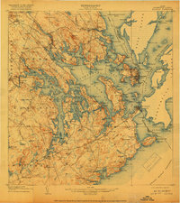
1908 Map of Eastport
USGS Topo · Published 1918About this map
Cobscook Bay and Passamaquoddy Bay dominate this easternmost Maine landscape, where the tides carve a complex network of peninsulas including Leighton Neck, Hersey Neck, and Denbow Neck. The intricate coastline of 1907 is dotted with maritime landmarks like West Quoddy Head LH and the Canada United States Boundary Line passing through the Quoddy Roads. Inland, the Washington County Railway connects timber and fishing interests through Ayers Junction and Dennysville Station. Local education is anchored by rural institutions such as the Crowe Neck School and Wilcox School, while the era's commerce relies on the Steamboat Route and a Toll Bridge crossing to the city of Eastport. This survey captures the region's geography before modern infrastructure bypassed many of these small coastal villages and landing points like Commissary Pt.
Find a feature on this map
219 named features on this map. Tap any name to fly to it.
Don’t see what you’re looking for? This feature index may not catch every label — zoom into the map to look around manually.
Map Details
Editions of this 1908 Eastport Map
4 editions found
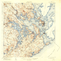
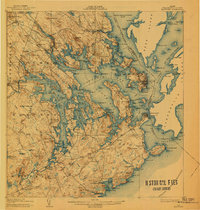
Other maps of this area

1907 · Eastport
USGS Topo · 1:48,000

1908 · Eastport
USGS Topo · 1:62,500

1917 · Cutler
USGS Topo · 1:62,500

1918 · Machias
USGS Topo · 1:62,500

1918 · Cutler
USGS Topo · 1:62,500

1929 · Calais
USGS Topo · 1:48,000

1929 · Robbinston
USGS Topo · 1:48,000

1931 · Robbinston
USGS Topo · 1:62,500

1932 · Calais
USGS Topo · 1:62,500

1941 · Machias
USGS Topo · 1:62,500