
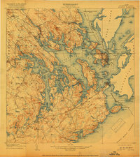
1908 Map of Eastport
USGS Topo · Published 1908About this map
Eastport and Lubec dominate the rugged maritime landscape of Washington County in the first decade of the 1900s, serving as vital hubs for the coastal economy. This survey captures the complex geography of Cobscook Bay and Passamaquoddy Bay, where the Washington County Railway connects inland settlements like Ayers Junction and Dennysville Station to the international waters of the Grand Manan Channel. The map illustrates a network of rural schoolhouses, including Burnt Cove School, Crowe Neck School, and Wilcox School, marking the social centers of scattered townships such as Edmunds and Whiting.
Find a feature on this map
151 named features on this map. Tap any name to fly to it.
Don’t see what you’re looking for? This feature index may not catch every label — zoom into the map to look around manually.
Map Details
Editions of this 1908 Eastport Map
4 editions found
Other maps of this area

1907 · Eastport
USGS Topo · 1:48,000

1917 · Cutler
USGS Topo · 1:62,500

1918 · Machias
USGS Topo · 1:62,500

1918 · Cutler
USGS Topo · 1:62,500

1929 · Calais
USGS Topo · 1:48,000

1929 · Robbinston
USGS Topo · 1:48,000

1931 · Robbinston
USGS Topo · 1:62,500

1932 · Calais
USGS Topo · 1:62,500

1941 · Machias
USGS Topo · 1:62,500

1941 · Gardner Lake
USGS Topo · 1:62,500