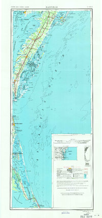
1946 Map of Eastville
USGS Topo · Published 1971About this map
The Delmarva Peninsula's southern reach is meticulously documented in this mid-century survey, spanning the transition from Maryland's Crisfield down to the North Carolina coast. The landscape is defined by the thin, fragile line of barrier islands like Assateague Island National Seashore, Hog Island, and Parramore Island, which buffer the mainland from the Atlantic Ocean. Inland, the Penn Central railroad serves as the spine for agricultural and maritime communities such as Accomac, Parksley, and Onancock.
Find a feature on this map
130 named features on this map. Tap any name to fly to it.
Don’t see what you’re looking for? This feature index may not catch every label — zoom into the map to look around manually.
Map Details
Editions of this 1946 Eastville Map
This is the sole edition of this map. No revisions or reprints were ever made.
Other maps of this area
1893 · Virginia Beach
USGS Topo · 1:125,000

1898 · St. Marys
USGS Topo · 1:125,000

1901 · Snow Hill
USGS Topo · 1:62,500
1901 · Green Run
USGS Topo · 1:62,500
1903 · Crisfield
USGS Topo · 1:62,500
1903 · Bloodsworth Island
USGS Topo · 1:62,500
1903 · Deal Island
USGS Topo · 1:62,500
1906 · St. Marys
USGS Topo · 1:125,000
1907 · Norfolk
USGS Topo · 1:125,000
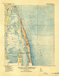
1916 · Back Bay
USGS Topo · 1:62,500