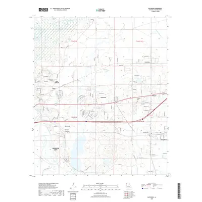
2018 Map of Eastwood
USGS Topo · Published 2018About this map
Bossier City serves as the western anchor for this Bossier Parish landscape, where residential expansion meets the winding drainages of the Ark-La-Tex. The terrain is defined by the southeasterly flow of Red Chute Bayou and Bodcau Creek, which together shape the low-lying wetlands around Flag Lake and Harmon Lake. These water bodies and their associated bayous, including Connell Bayou and Pigeon-Roost Bayou, create a complex hydrography that has historically influenced the placement of settlements like Eastwood and Princeton.
Find a feature on this map
124 named features on this map. Tap any name to fly to it.
Don’t see what you’re looking for? This feature index may not catch every label — zoom into the map to look around manually.
Map Details
Editions of this 2018 Eastwood Map
This is the sole edition of this map. No revisions or reprints were ever made.
Other maps of this area

1932 · Bossier SE
USGS Topo · 1:31,680

1932 · Bossier NE
USGS Topo · 1:31,680

1932 · Bossier SW
USGS Topo · 1:31,680

1932 · Bossier NW
USGS Topo · 1:31,680

1938 · Arnsberg
USGS Topo · 1:31,680

1941 · Forbing
USGS Topo · 1:31,680

1947 · Ringgold
USGS Topo · 1:62,500

1947 · Minden
USGS Topo · 1:62,500

1948 · Bossier City
USGS Topo · 1:62,500

1948 · Caspiana
USGS Topo · 1:62,500