
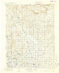
1910 Map of Eaton
USGS Topo · Published 1910About this map
Eaton and the surrounding agricultural communities of northern Colorado are defined by an intricate network of irrigation ditches and reservoirs, reflecting the region's intensive water management during the early twentieth century. From Eaton Ditch to large water bodies like New Windsor Reservoir and Black Hollow Reservoir, the landscape is partitioned into a productive grid of farms and ranches. The Union Pacific railroad, specifically the Denver and Cheyenne Line, dictates the alignment of the towns, including Ault, Pierce, and Nunn, which served as vital transport hubs for local produce and livestock.
Find a feature on this map
76 named features on this map. Tap any name to fly to it.
Don’t see what you’re looking for? This feature index may not catch every label — zoom into the map to look around manually.
Map Details
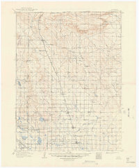
Editions of this 1910 Eaton Map
3 editions found
Other maps of this area

1902 · Greeley
USGS Topo · 1:125,000

1905 · Sherman
USGS Topo · 1:125,000

1906 · Loveland
USGS Topo · 1:62,500

1906 · Fort Collins
USGS Topo · 1:62,500

1907 · Livermore
USGS Topo · 1:125,000

1908 · Loveland
USGS Topo · 1:62,500

1908 · Fort Collins
USGS Topo · 1:62,500

1908 · Eaton
USGS Topo · 1:125,000

1909 · Livermore
USGS Topo · 1:125,000

1911 · Cheyenne
USGS Topo · 1:125,000