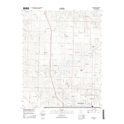
2015 Map of Ebenezer
USGS Topo · Published 2015About this map
The Little Sac River and the Sac River converge north of Springfield in this Missouri landscape, where the terrain is marked by distinctive geological formations like the Lost Hill Natural Arch and Dry Sac Arch. The area reflects a transition from rural farmsteads to the northern expansion of Springfield's urban periphery. Several small named settlements including Ebenezer, Glidewell, and Mascot are linked by a dense network of farm-to-market roads, such as W Farm Road 36 and Old MO 13.
Find a feature on this map
136 named features on this map. Tap any name to fly to it.
Don’t see what you’re looking for? This feature index may not catch every label — zoom into the map to look around manually.
Map Details
Editions of this 2015 Ebenezer Map
This is the sole edition of this map. No revisions or reprints were ever made.
Other maps of this area

1884 · Springfield
USGS Topo · 1:125,000

1886 · Springfield
USGS Topo · 1:125,000

1935 · Springfield
USGS Topo · 1:24,000

1936 · Brookline
USGS Topo · 1:24,000

1937 · Galloway
USGS Topo · 1:24,000

1937 · Ozark
USGS Topo · 1:48,000

1943 · Ozark
USGS Topo · 1:62,500

1945 · Ozark
USGS Topo · 1:62,500

1946 · Bassville
USGS Topo · 1:24,000

1947 · Strafford
USGS Topo · 1:62,500