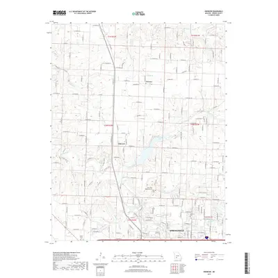
2017 Map of Ebenezer
USGS Topo · Published 2017About this map
Ebenezer and the rural fringes of northern Springfield define this landscape along the upper reaches of the Little Sac River. The topography is shaped by the winding paths of the river and the S-Dry-Sac-River, which flow through a region marked by notable geological formations such as the Lost Hill Natural Arch and Dry Sac Arch. These natural features, alongside the McDaniel Lake reservoir, highlight the complex hydrology of Greene County. To the west, Flint Hill Br rises above the river valley, while the southern portion of the map transitions into the urban grid of the city.
Find a feature on this map
154 named features on this map. Tap any name to fly to it.
Don’t see what you’re looking for? This feature index may not catch every label — zoom into the map to look around manually.
Map Details
Editions of this 2017 Ebenezer Map
This is the sole edition of this map. No revisions or reprints were ever made.
Other maps of this area

1884 · Springfield
USGS Topo · 1:125,000

1886 · Springfield
USGS Topo · 1:125,000

1935 · Springfield
USGS Topo · 1:24,000

1936 · Brookline
USGS Topo · 1:24,000

1937 · Galloway
USGS Topo · 1:24,000

1937 · Ozark
USGS Topo · 1:48,000

1943 · Ozark
USGS Topo · 1:62,500

1945 · Ozark
USGS Topo · 1:62,500

1946 · Bassville
USGS Topo · 1:24,000

1947 · Strafford
USGS Topo · 1:62,500