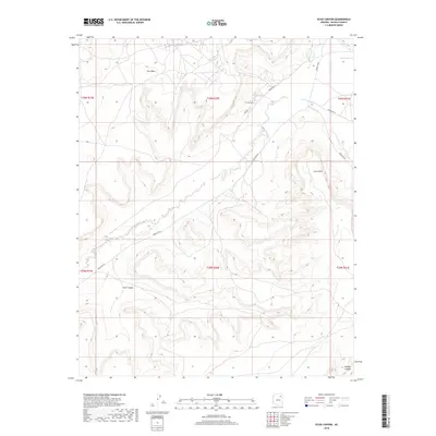
2018 Map of Echo Canyon
USGS Topo · Published 2018About this map
Echo Canyon and the high plateaus of First Mesa define this high-desert landscape in northeastern Arizona. The terrain is marked by seasonal drainages and vital water points that have historically supported the surrounding communities. Several significant washes, including Tse Chizzi Wash and Burnt Corn Wash, cut through the mesas toward the northeast, while Echo Spring sits tucked within a deep fold of the canyon. This 2018 survey reveals the critical network of Indian Rte 60 and Indian Rte 61 that provides modern access across the ancient landforms. At the edge of the plateau, Gum Point stands as a prominent landmark overlooking the lower drainages of Polacca Wash and the southeastern reaches of Cienega Canyon.
Find a feature on this map
17 named features on this map. Tap any name to fly to it.
Don’t see what you’re looking for? This feature index may not catch every label — zoom into the map to look around manually.
Map Details
Editions of this 2018 Echo Canyon Map
This is the sole edition of this map. No revisions or reprints were ever made.
Other maps of this area

1883 · Marsh Pass
USGS Topo · 1:250,000
1883 · Tusayan
USGS Topo · 1:250,000
1886 · Tusayan
USGS Topo · 1:250,000

1892 · Marsh Pass
USGS Topo · 1:250,000

1947 · Flagstaff
USGS Topo · 1:250,000
1954 · Flagstaff
USGS Topo · 1:250,000

1956 · Marble Canyon
USGS Topo · 1:250,000
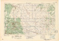
1958 · Flagstaff
USGS Topo · 1:250,000

1959 · Marble Canyon
USGS Topo · 1:250,000
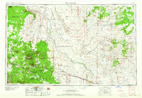
1960 · Flagstaff
USGS Topo · 1:250,000