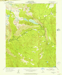
1955 Map of Echo Lake
USGS Topo · Published 1956About this map
Lower Echo Lake and Upper Echo Lake dominate the high-altitude landscape of the Eldorado National Forest in this mid-1950s survey. This era captures the region as a hub for mountain recreation and early automotive travel over the Sierra Nevada, centered on Echo Summit and Johnson Pass. Evidence of seasonal and permanent settlement is clear at Phillips, which includes the Vade P O, and the Celio Ranch further east. The map documents an extensive network of specialized camps, such as the Berkeley Muni Camp, Camp Harvey West (BSA), and Camp Sacramento, alongside the Chapel of Our Lady of the Sierras. Water management and transportation infrastructure are detailed through features like the Spillway 7414 and the State Hy Maint Sta, marking the intersection of the Upper Truckee River and the South Fork American River headwaters.
Find a feature on this map
72 named features on this map. Tap any name to fly to it.
Don’t see what you’re looking for? This feature index may not catch every label — zoom into the map to look around manually.
Map Details
Editions of this 1955 Echo Lake Map
4 editions found
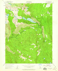
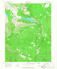
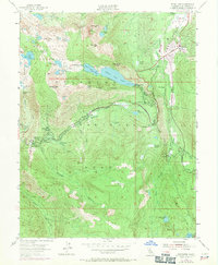
Other maps of this area

1889 · Pyramid Peak
USGS Topo · 1:125,000

1889 · Markleeville
USGS Topo · 1:125,000

1891 · Markleeville
USGS Topo · 1:125,000

1891 · Pyramid Peak
USGS Topo · 1:125,000

1893 · Markleeville
USGS Topo · 1:125,000

1895 · Pyramid Peak
USGS Topo · 1:125,000

1896 · Pyramid Peak
USGS Topo · 1:125,000

1947 · Sacramento
USGS Topo · 1:250,000

1948 · Walker Lake
USGS Topo · 1:250,000

1948 · Sacramento
USGS Topo · 1:250,000