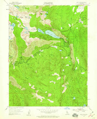
1955 Map of Echo Lake
USGS Topo · Published 1959About this map
Lower Echo Lake and Upper Echo Lake serve as the centerpiece of this mid-century survey, illustrating the recreation and transit patterns of the High Sierra before modern development. The map details a landscape of specialized encampments, from the Boy Scouts' Camp Harvey West to the Berkeley Muni Camp and Camp Sacramento. High-altitude spiritual and social hubs are also recorded, including the Chapel of Our Lady of the Sierras and the Vade PO at Phillips.
Find a feature on this map
73 named features on this map. Tap any name to fly to it.
Don’t see what you’re looking for? This feature index may not catch every label — zoom into the map to look around manually.
Map Details
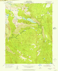
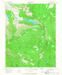
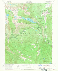
Editions of this 1955 Echo Lake Map
4 editions found
Other maps of this area

1889 · Pyramid Peak
USGS Topo · 1:125,000

1889 · Markleeville
USGS Topo · 1:125,000

1891 · Markleeville
USGS Topo · 1:125,000

1891 · Pyramid Peak
USGS Topo · 1:125,000

1893 · Markleeville
USGS Topo · 1:125,000

1895 · Pyramid Peak
USGS Topo · 1:125,000

1896 · Pyramid Peak
USGS Topo · 1:125,000

1947 · Sacramento
USGS Topo · 1:250,000

1948 · Walker Lake
USGS Topo · 1:250,000

1948 · Sacramento
USGS Topo · 1:250,000