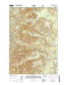
2014 Map of Echo Mountain
USGS Topo · Published 2014About this map
Willamette National Forest encompasses this high-altitude landscape where the western slopes meet the higher elevations of the Cascade Range. This 2014 survey documents a complex network of forest development roads, such as Nat For Dev Rd 2065, providing access to timber and recreational resources. Notable geological and water features include Echo Mountian, Crescent Mtn, and the nearby Lost Prairie. The eastern portion of the map is punctuated by several water bodies, including Lava Lake, Fish Lake, and the northern edge of Clear Lake. The presence of labels like The Parks and Smith Prairie suggests traditional grazing or open areas within the dense forest. The road network highlights the intersection of modern forestry management and natural topography, with Hwy 20 and the McKenzie Hwy serving as primary transit corridors through the drainage basins of the Smith River and Hackleman Cr.
Find a feature on this map
59 named features on this map. Tap any name to fly to it.
Don’t see what you’re looking for? This feature index may not catch every label — zoom into the map to look around manually.
Map Details
Editions of this 2014 Echo Mountain Map
This is the sole edition of this map. No revisions or reprints were ever made.
Other maps of this area
1927 · Mt. Jefferson
USGS Topo · 1:125,000
1929 · Mill City
USGS Topo · 1:125,000
1929 · Three Sisters
USGS Topo · 1:125,000
1930 · Mt. Jefferson
USGS Topo · 1:125,000
1932 · Three Sisters
USGS Topo · 1:125,000
1934 · Mc Kenzie Bridge
USGS Topo · 1:96,000
1940 · Mc Kenzie Bridge
USGS Topo · 1:125,000
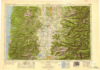
1953 · Salem
USGS Topo · 1:250,000
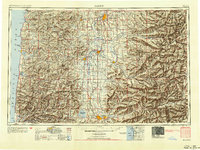
1954 · Salem
USGS Topo · 1:250,000
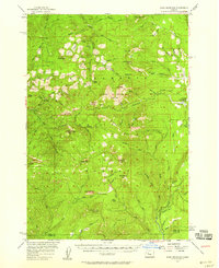
1955 · Echo Mountain
USGS Topo · 1:62,500