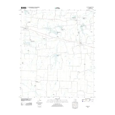
2010 Map of Ector
USGS Topo · Published 2010About this map
The town of Savoy and the community of Ector anchor this north Texas landscape, defined by a network of creeks and watershed management sites. The terrain is structured by numerous drainage systems, including Caney Creek, Post Oak Creek, and Bois d'Arc Creek, which are controlled by a series of Soil Conservation Service dams such as Site 7 Dam and Site 12 Dam.
Find a feature on this map
87 named features on this map. Tap any name to fly to it.
Don’t see what you’re looking for? This feature index may not catch every label — zoom into the map to look around manually.
Map Details
Editions of this 2010 Ector Map
This is the sole edition of this map. No revisions or reprints were ever made.
Other maps of this area

1954 · Sherman
USGS Topo · 1:250,000

1958 · Bonham
USGS Topo · 1:62,500

1958 · Whitesright
USGS Topo · 1:62,500

1958 · Sherman
USGS Topo · 1:250,000

1964 · Trenton
USGS Topo · 1:24,000
1964 · Pilot Grove
USGS Topo · 1:24,000
1964 · Leonard
USGS Topo · 1:24,000
1984 · Ambrose
USGS Topo · 1:24,000
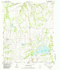
1984 · Lake Bonham
USGS Topo · 1:24,000
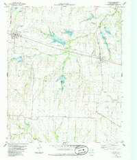
1984 · Ector
USGS Topo · 1:24,000