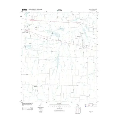
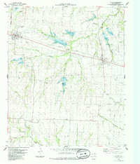
2013 Map of Ector
USGS Topo · Published 2013About this map
Savoy and Ector anchor this portion of Fannin County, where a dense network of country roads connects family burial grounds and agricultural communities. This landscape is defined by its drainages, including Caney Cr and Ford Cr, which feed into the Bois d'Arc Cr basin to the south. The prevalence of small, scattered cemeteries such as Coon Town Cem, Little Jordan Cem, and Wrenn Cem provides a significant resource for genealogists tracing 19th and 20th-century family origins in the region. To the north, Valley Lake and its surrounding labels like McNeely Cem and Culpepper Cem mark a distinct cluster of local history. The presence of Parker Place Airport north of Ector reflects the mid-century integration of small-scale aviation into this traditional Texas farming belt.
Find a feature on this map
107 named features on this map. Tap any name to fly to it.
Don’t see what you’re looking for? This feature index may not catch every label — zoom into the map to look around manually.
Map Details
Editions of this 2013 Ector Map
This is the sole edition of this map. No revisions or reprints were ever made.
Other maps of this area

1954 · Sherman
USGS Topo · 1:250,000
1958 · Bonham
USGS Topo · 1:62,500
1958 · Whitesright
USGS Topo · 1:62,500

1958 · Sherman
USGS Topo · 1:250,000
1964 · Trenton
USGS Topo · 1:24,000
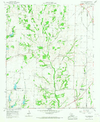
1964 · Pilot Grove
USGS Topo · 1:24,000
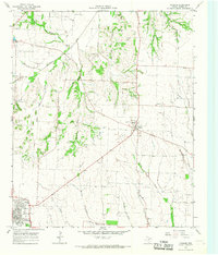
1964 · Leonard
USGS Topo · 1:24,000
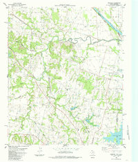
1984 · Ambrose
USGS Topo · 1:24,000
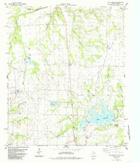
1984 · Lake Bonham
USGS Topo · 1:24,000
1984 · Ector
USGS Topo · 1:24,000