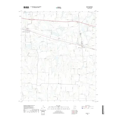
2019 Map of Ector
USGS Topo · Published 2019About this map
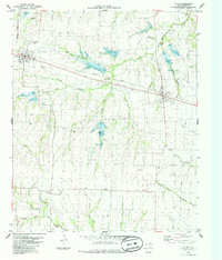
Savoy and Ector anchor this portion of Fannin County, where the landscape is defined by a dense network of creek systems and family burial grounds. The terrain is deeply incised by waterways such as Caney Cr, Post Oak Cr, and Hutchins Cr, which flow south toward the larger Bois d'Arc Cr corridor. For genealogists, the map is remarkably dense with historical cemeteries, including Coontown Cem, Little Jordan Cem, and Culpepper Cem, providing specific locations for family history research. In the south, the small community of Ely sits near the crossing of S FM 898, while the Parker Place Airport north of Ector indicates the continued utility of the land for local aviation. The settlement pattern follows the high ground between these various drainage basins, connected by a grid of county roads that have long served this agricultural region.
Find a feature on this map
111 named features on this map. Tap any name to fly to it.
Don’t see what you’re looking for? This feature index may not catch every label — zoom into the map to look around manually.
Map Details
Editions of this 2019 Ector Map
This is the sole edition of this map. No revisions or reprints were ever made.
Other maps of this area

1954 · Sherman
USGS Topo · 1:250,000
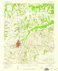
1958 · Bonham
USGS Topo · 1:62,500
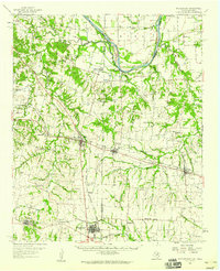
1958 · Whitesright
USGS Topo · 1:62,500

1958 · Sherman
USGS Topo · 1:250,000
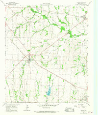
1964 · Trenton
USGS Topo · 1:24,000
1964 · Pilot Grove
USGS Topo · 1:24,000
1964 · Leonard
USGS Topo · 1:24,000
1984 · Ambrose
USGS Topo · 1:24,000
1984 · Lake Bonham
USGS Topo · 1:24,000
1984 · Ector
USGS Topo · 1:24,000