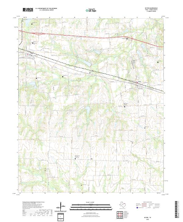
2022 Map of Ector
USGS Topo · Published 2022About this map
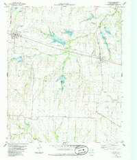
Savoy and Ector serve as the primary population centers in this rural Texas landscape, separated by a network of creeks and drainage basins. The area is characterized by its numerous small burial grounds, many of which are named for local families or early communities, such as the Coontown Cem, McNeely Cem, and the Bobby Gene Woodruff Private Cem. The agricultural nature of the region is evident in the dense grid of county roads that connect these scattered sites and small settlements like Ely.
Find a feature on this map
112 named features on this map. Tap any name to fly to it.
Don’t see what you’re looking for? This feature index may not catch every label — zoom into the map to look around manually.
Map Details
Editions of this 2022 Ector Map
This is the sole edition of this map. No revisions or reprints were ever made.
Other maps of this area

1954 · Sherman
USGS Topo · 1:250,000

1958 · Bonham
USGS Topo · 1:62,500

1958 · Whitesright
USGS Topo · 1:62,500

1958 · Sherman
USGS Topo · 1:250,000

1964 · Trenton
USGS Topo · 1:24,000
1964 · Pilot Grove
USGS Topo · 1:24,000
1964 · Leonard
USGS Topo · 1:24,000
1984 · Ambrose
USGS Topo · 1:24,000
1984 · Lake Bonham
USGS Topo · 1:24,000
1984 · Ector
USGS Topo · 1:24,000