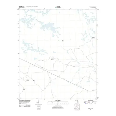
2011 Map of Eddy
USGS Topo · Published 2011About this map
The small community of Eddy serves as a quiet center for this corner of the Florida-Georgia borderlands. The landscape is defined by its subtle hydrologic patterns, where the winding course of Moccasin Creek and Lake Holes Branch feed into Lake Holes. Named rises and dry patches suggest a history of localized land use in a low-lying region, including the aptly named Moonshine Ridge and a series of islands such as Crews Island, Mims Island, and Rough Island.
Find a feature on this map
14 named features on this map. Tap any name to fly to it.
Don’t see what you’re looking for? This feature index may not catch every label — zoom into the map to look around manually.
Map Details
Editions of this 2011 Eddy Map
This is the sole edition of this map. No revisions or reprints were ever made.
Other maps of this area

1917 · Macclenny
USGS Topo · 1:62,500

1918 · Moniac
USGS Topo · 1:62,500

1918 · Macclenny
USGS Topo · 1:62,500

1942 · Moniac
USGS Topo · 1:62,500

1954 · Valdosta
USGS Topo · 1:250,000

1956 · Eddy
USGS Topo · 1:24,000

1956 · Sargent
USGS Topo · 1:24,000

1958 · Valdosta
USGS Topo · 1:250,000

1959 · Valdosta
USGS Topo · 1:250,000

1965 · Chesser Island
USGS Topo · 1:24,000