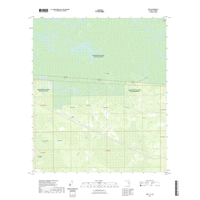
2021 Map of Eddy
USGS Topo · Published 2021About this map
Okefenokee National Wildlife Refuge dominates this borderland landscape where the Baker County, Florida, and Ware County, Georgia, lines meet. The terrain is characterized by a complex network of wetlands and seasonal water bodies, including the vast Okefenokee Swamp and Pinhook Swamp. Dry land is found primarily on named ridges and rises such as Moonshine Ridge and a series of "islands"—Mims Island, Crews Island, and Rough Island—that emerge from the surrounding marsh.
Find a feature on this map
31 named features on this map. Tap any name to fly to it.
Don’t see what you’re looking for? This feature index may not catch every label — zoom into the map to look around manually.
Map Details
Editions of this 2021 Eddy Map
This is the sole edition of this map. No revisions or reprints were ever made.
Other maps of this area

1917 · Macclenny
USGS Topo · 1:62,500

1918 · Moniac
USGS Topo · 1:62,500

1918 · Macclenny
USGS Topo · 1:62,500

1942 · Moniac
USGS Topo · 1:62,500

1954 · Valdosta
USGS Topo · 1:250,000

1956 · Eddy
USGS Topo · 1:24,000

1956 · Sargent
USGS Topo · 1:24,000

1958 · Valdosta
USGS Topo · 1:250,000

1959 · Valdosta
USGS Topo · 1:250,000

1965 · Chesser Island
USGS Topo · 1:24,000