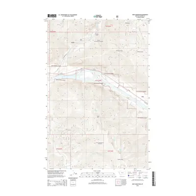
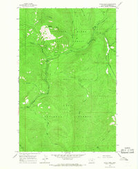
2014 Map of Eddy Mountain
USGS Topo · Published 2014About this map
The Clark Fork river carves a wide path through this portion of the Lolo National Forest in Sanders County, Montana. The small settlements of Snider and Eddy anchor the valley floor, linked by MT-200 and River Rd W. The landscape is defined by high-elevation water bodies like Outlaw Lake, Quail Lake, and Tuffys Lake, which sit tucked among the drainages of Eddy Mtn and Kookoosint Ridge. These peaks and ridges are dissected by colorfully named canyons such as Sleepy Gulch, Buckeye Canyon, and Poacher Gulch. The confluence of the Thompson River and the Clark Fork highlights a transportation and drainage hub that has shaped the human and natural history of the region. This 2014 survey captures the modern road network, including Thompson River Rd and the ACM Rd, as they navigate the steep terrain between the river valley and the forested uplands.
Find a feature on this map
45 named features on this map. Tap any name to fly to it.
Don’t see what you’re looking for? This feature index may not catch every label — zoom into the map to look around manually.
Map Details
Editions of this 2014 Eddy Mountain Map
This is the sole edition of this map. No revisions or reprints were ever made.
Other maps of this area
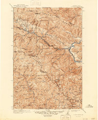
1918 · St Regis
USGS Topo · 1:125,000
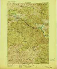
1919 · St. Regis
USGS Topo · 1:125,000
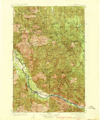
1937 · Thompson Falls
USGS Topo · 1:125,000
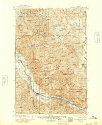
1937 · Thompson Falls
USGS Topo · 1:62,500
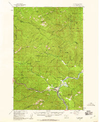
1956 · St Regis
USGS Topo · 1:62,500

1956 · Wallace
USGS Topo · 1:250,000
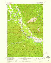
1957 · Thompson Falls
USGS Topo · 1:62,500
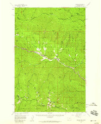
1957 · Haugan
USGS Topo · 1:62,500

1960 · Wallace
USGS Topo · 1:250,000
1964 · Calico Creek
USGS Topo · 1:24,000