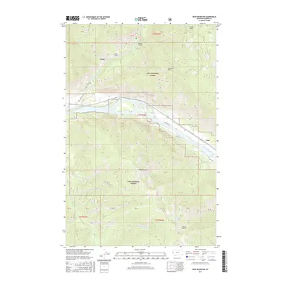
2017 Map of Eddy Mountain
USGS Topo · Published 2017About this map
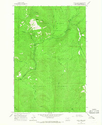
Snider and Eddy sit along the corridors of the Clark Fork and Thompson River within the vast boundaries of the Lolo National Forest. This 2017 survey details the complex network of forest service and secondary roads, including Thompson River Rd and State Hwy 556, which navigate the steep elevations leading toward Eddy Mountain. The terrain is deeply incised by drainages like Buckeye Canyon and Poacher Gulch, while high-altitude water bodies such as Outlaw Lake and Tuffys Lake are tucked into the ridges. The prominence of Kookoosint Ridge dominates the central landscape, illustrating the topographical transition from the river valleys to the high peaks of Sanders County. This document serves as a contemporary record of land management and access in a region defined by its waterway junctions and protected forest lands.
Find a feature on this map
44 named features on this map. Tap any name to fly to it.
Don’t see what you’re looking for? This feature index may not catch every label — zoom into the map to look around manually.
Map Details
Editions of this 2017 Eddy Mountain Map
This is the sole edition of this map. No revisions or reprints were ever made.
Other maps of this area
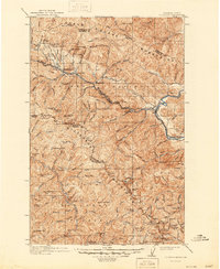
1918 · St Regis
USGS Topo · 1:125,000
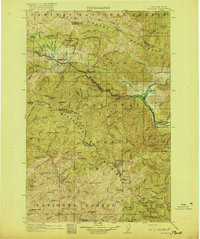
1919 · St. Regis
USGS Topo · 1:125,000
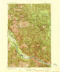
1937 · Thompson Falls
USGS Topo · 1:125,000
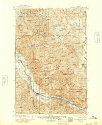
1937 · Thompson Falls
USGS Topo · 1:62,500
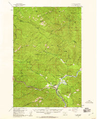
1956 · St Regis
USGS Topo · 1:62,500

1956 · Wallace
USGS Topo · 1:250,000
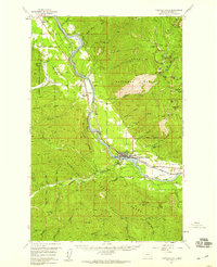
1957 · Thompson Falls
USGS Topo · 1:62,500
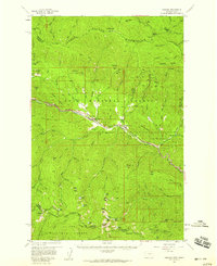
1957 · Haugan
USGS Topo · 1:62,500

1960 · Wallace
USGS Topo · 1:250,000
1964 · Calico Creek
USGS Topo · 1:24,000