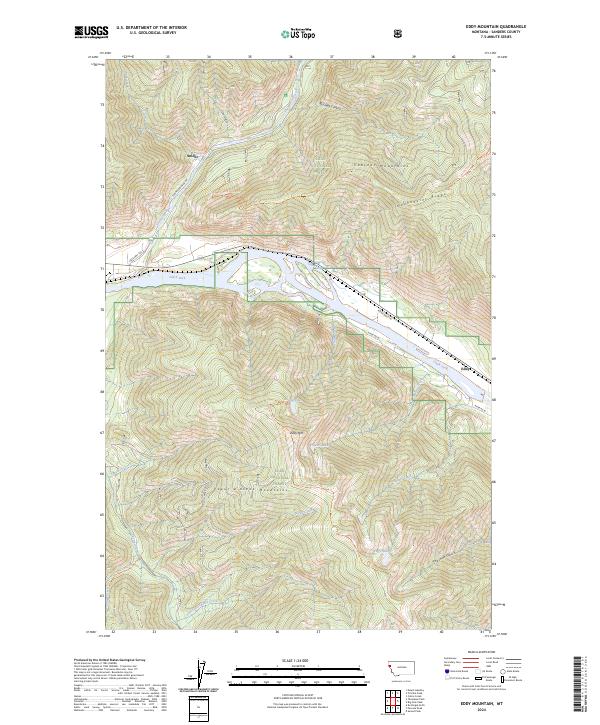
2024 Map of Eddy Mountain
USGS Topo · Published 2024About this map
Clark Fork defines the central valley of this map, serving as a primary corridor for travel and settlement in this portion of the Lolo National Forest. Small communities like Eddy and Snider occupy the lowlands near the river, while the surrounding landscape rises into the high peaks of the Cabinet Mountains and Coeur d'Alene Mountains. The map reveals a complex network of forest access routes and trails, including the Koo Koo Sint Ridge Trl and Eddy Ridge Trl, which navigate the steep divides of Kookoosint Ridge. High-altitude water bodies such as Outlaw Lake and Taffys Lake are tucked into the drainages of Outlaw Creek and Malone Creek, highlighting a terrain where industrial forest roads like Thompson River Rd meet recreational paths and family-named landmarks.
Find a feature on this map
52 named features on this map. Tap any name to fly to it.
Don’t see what you’re looking for? This feature index may not catch every label — zoom into the map to look around manually.
Map Details
Editions of this 2024 Eddy Mountain Map
This is the sole edition of this map. No revisions or reprints were ever made.
Other maps of this area

1918 · St Regis
USGS Topo · 1:125,000

1919 · St. Regis
USGS Topo · 1:125,000

1937 · Thompson Falls
USGS Topo · 1:125,000

1937 · Thompson Falls
USGS Topo · 1:62,500

1956 · St Regis
USGS Topo · 1:62,500

1956 · Wallace
USGS Topo · 1:250,000

1957 · Thompson Falls
USGS Topo · 1:62,500

1957 · Haugan
USGS Topo · 1:62,500

1960 · Wallace
USGS Topo · 1:250,000

1964 · Calico Creek
USGS Topo · 1:24,000