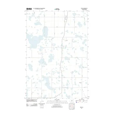
2012 Map of Eden
USGS Topo · Published 2012About this map
Saint Michael's Cem and Saron Free Lutheran Cem stand as significant landmarks in this rural landscape of northeastern South Dakota. The region is defined by a dense concentration of glacial potholes and wetlands, including Opitz Lake, Hazelden Lake, and the expansive Redman Slough. These water bodies are interspersed among a strictly partitioned grid of agricultural sections, connected by a network of county roads such as Co Rd-15 and Co Rd-5. The small community hub centered around the Po near Taft Ave provides a glimpse into the localized civic structure of Day County. The proximity of the cemeteries to these scattered water features reflects the traditional settlement patterns of the area, where high ground between sloughs was utilized for both homesteads and community burials.
Find a feature on this map
25 named features on this map. Tap any name to fly to it.
Don’t see what you’re looking for? This feature index may not catch every label — zoom into the map to look around manually.
Map Details
Editions of this 2012 Eden Map
This is the sole edition of this map. No revisions or reprints were ever made.
Other maps of this area

1953 · Milbank
USGS Topo · 1:250,000

1958 · Milbank
USGS Topo · 1:250,000

1970 · Eden
USGS Topo · 1:24,000

1970 · Britton 4 NE
USGS Topo · 1:24,000

1970 · South Red Iron Lake
USGS Topo · 1:24,000

1970 · Lake City
USGS Topo · 1:24,000

1970 · Piyas Lake
USGS Topo · 1:24,000

1970 · Britton 4 SE
USGS Topo · 1:24,000

1970 · Roslyn
USGS Topo · 1:24,000

1970 · Enemy Swim Lake West
USGS Topo · 1:24,000