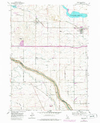
1964 Map of Eden
USGS Topo · Published 1986About this map
The Snake River carves a deep path through this landscape, marking the boundary between Jerome and Twin Falls counties. The agricultural settlement of Eden and the neighboring town of Hazelton are tied together by the Union Pacific railroad, which runs parallel to a complex network of canals, ditches, and pumping stations that support the local irrigation economy. The presence of a Grain Elevator in Eden and numerous borrow pits near the river suggests a community built on both farming and regional infrastructure development.
Find a feature on this map
24 named features on this map. Tap any name to fly to it.
Don’t see what you’re looking for? This feature index may not catch every label — zoom into the map to look around manually.
Map Details
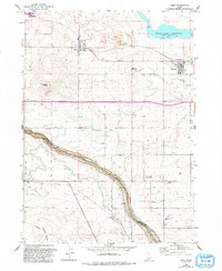
Editions of this 1964 Eden Map
3 editions found
Other maps of this area

1955 · Twin Falls
USGS Topo · 1:250,000

1958 · Twin Falls
USGS Topo · 1:250,000

1964 · Kimberly
USGS Topo · 1:24,000

1964 · Eden
USGS Topo · 1:24,000

1964 · Milner
USGS Topo · 1:24,000

1964 · Hazelton NE
USGS Topo · 1:24,000

1964 · Perrine
USGS Topo · 1:24,000

1964 · Hunt
USGS Topo · 1:24,000

1965 · Milner Butte
USGS Topo · 1:24,000

1965 · Stricker Butte
USGS Topo · 1:24,000