
1964 Map of Eden
USGS Topo · Published 1965About this map
The agricultural landscape of Jerome County is defined by an intricate network of irrigation, centered around the Snake River as it forms the boundary with Twin Falls County. In the early 1960s, the settlements of Eden and Hazelton served as hubs for this rural economy, connected by the Union Pacific railroad and supported by infrastructure like the Grain Elevator and Hazelton Airport. The map reveals the vital role of water management in this high desert environment, tracing the A-1 Canal, Main Canal, and numerous lateral ditches such as C-1 Ditch and B-1 Ditch.
Find a feature on this map
36 named features on this map. Tap any name to fly to it.
Don’t see what you’re looking for? This feature index may not catch every label — zoom into the map to look around manually.
Map Details
Editions of this 1964 Eden Map
3 editions found
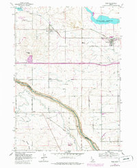
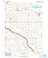
Other maps of this area

1955 · Twin Falls
USGS Topo · 1:250,000

1958 · Twin Falls
USGS Topo · 1:250,000

1964 · Kimberly
USGS Topo · 1:24,000

1964 · Milner
USGS Topo · 1:24,000

1964 · Hazelton NE
USGS Topo · 1:24,000

1964 · Perrine
USGS Topo · 1:24,000

1964 · Hunt
USGS Topo · 1:24,000

1965 · Milner Butte
USGS Topo · 1:24,000

1965 · Stricker Butte
USGS Topo · 1:24,000

1965 · Murtaugh
USGS Topo · 1:24,000