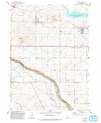
1964 Map of Eden
USGS Topo · Published 1992About this map
Agricultural life in Jerome County is defined by an intricate network of irrigation, with the Twin Falls Canal and Eden Canal carving through the landscape to support the settlements of Eden and Hazelton. This late-century update of a mid-1960s survey illustrates a region shaped by water management, featuring a massive Aqueduct and several siphons that transport water across the undulating terrain. To the south, the Snake River serves as the prominent natural boundary between Jerome and Twin Falls counties, while the Wilson Lake Reservoir dominates the northeastern corner.
Find a feature on this map
25 named features on this map. Tap any name to fly to it.
Don’t see what you’re looking for? This feature index may not catch every label — zoom into the map to look around manually.
Map Details
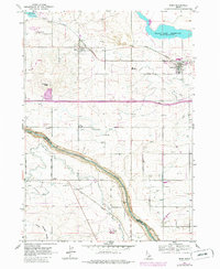
Editions of this 1964 Eden Map
3 editions found
Other maps of this area

1955 · Twin Falls
USGS Topo · 1:250,000

1958 · Twin Falls
USGS Topo · 1:250,000

1964 · Kimberly
USGS Topo · 1:24,000

1964 · Eden
USGS Topo · 1:24,000

1964 · Milner
USGS Topo · 1:24,000

1964 · Hazelton NE
USGS Topo · 1:24,000

1964 · Perrine
USGS Topo · 1:24,000

1964 · Hunt
USGS Topo · 1:24,000

1965 · Milner Butte
USGS Topo · 1:24,000

1965 · Stricker Butte
USGS Topo · 1:24,000